

Mile 832.4 to mile 857.7 (25.3 mile, 40.7km)
Muir Pass was much harder than anticipated. Being at less elevation and flatter than the other passes to date, I had it in mind that it would be straight forward. As it has turned out it has been one of the tougher passes for me, mainly due to the amount of snow still about.
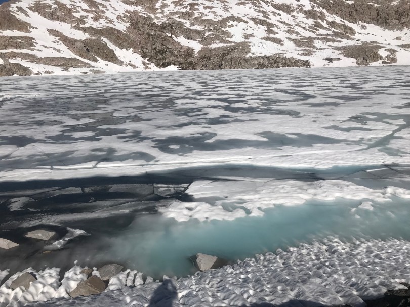
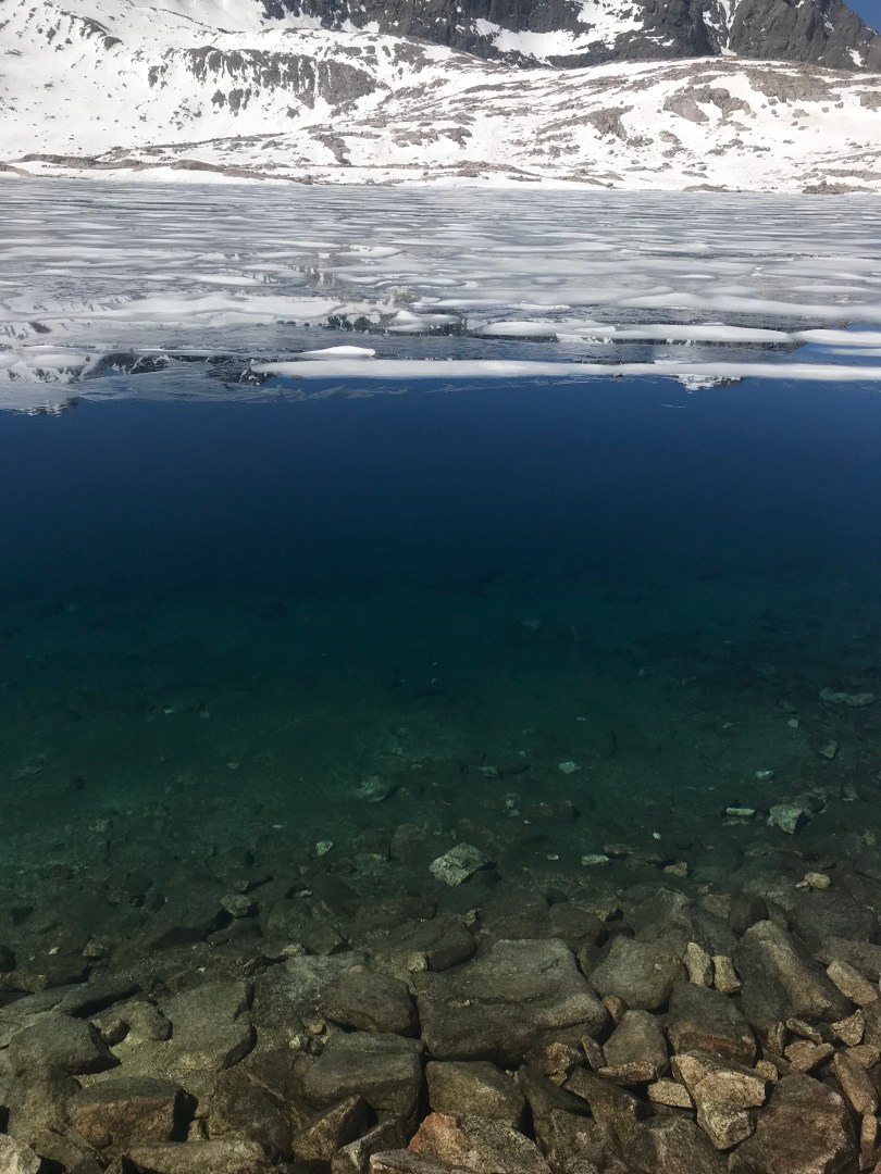
For three miles either side of the pass deep snow is a major feature. I should have started this day much earlier to make use of the overnight freeze but didn’t. Traction going up wasn’t too bad given the sun had soften things a bit and I didn’t need to use microspikes, the rubber and tread on my runners being ample to bite down. Many snow bridges had to be crossed over freezing rivers below. There was only hoping that they were still frozen enough to remain intact.
At one point an open river, the exit point for a frozen lake had to be crossed. Thick ice sheets laying on top. It was absolutely freezing and my feet went numb for a good five minutes, the only thing to do was to keep moving and keep the blood circulating. Remember this is all in trail runners, no mountaineering gear to be found.
There were a few false summits and then climbing what I thought was another the Muir Hut popped into view and I knew I was there.
The shelter was built by the Sierra Club in 1930 as an emergency shelter for hikers caught on the pass. It’s brick work constructed much like an igloo would be built.


Descending down from the Pass was much harder. The snow had softened considerably and postholing was an issue for the next 3 miles. It took much longer than anticipated. There was a bit of slope initially so I put my spikes on just to be sure.

Even after moving through the bulk of the snow, much of the trail was still buried and required a lot of cross country navigation to make use of rock bands that were much easier to walk on.
Once back on solid ground it was just before noon and my stomach says lunch time. I think the hiker hunger has definitely kicked in. They say that through the Sierra the appetite increases but I forgot to factor that into my last resupply. I have enough food not to stave but I’m definitely running at a deficit at the moment and burning through more calories than I can put in. Good for my waist line not good for my grumbling stomach.
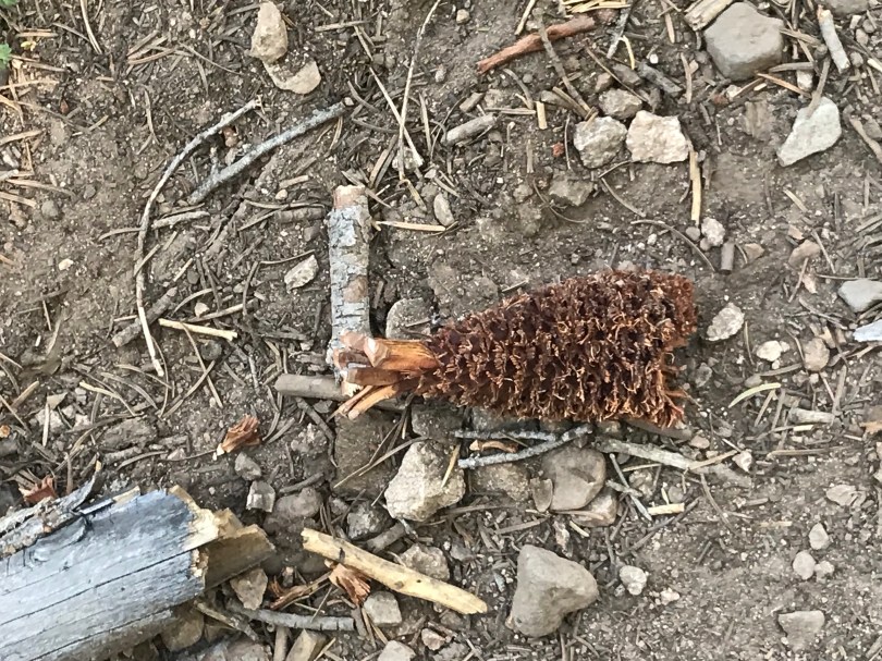
For the last few days I’ve been fantasying about food. Many times throughout the day I’ve caught myself thinking about exactly what food I’ll have in Mammoth, and even before that what I’ll get at Red Meadows. Scrambled eggs for breakfast. Hotdogs with all the trimmings; a fat juicy steak with rich jus; BBQ chicken; slow cooked and smoked ribs. Even the pine cones are starting to look like fried chicken.
And given the recent hunger I’ve been slowly eating into my following days rations. There was only one thing left to do for the rest of the day, haul ass towards the Muir Trail Ranch to position myself to pick up my resupply tomorrow morning.
So after a quick lunch that’s what I did. The rest of the day was entirely down hill and made for a quick pace.
A few hours later there was the Evolution Creek to cross. Now names can be misleading and this is one example. For starters it’s no creek, more like a raging river, the largest water body that the PCT has to cross to date. I’d seen footage of crossings here last season on YouTube with people basically getting swept off their feet and having to swim. Rumours abound this year as well that the crossing is chest deep. I wasn’t about to find out. I’ve had my run ins with rivers like this on past hikes and I wasn’t about to press my luck with this one given I was one up and that there was an alternate route. Playing it safe I took to alternate through a meadow and a just above the knees crossing.
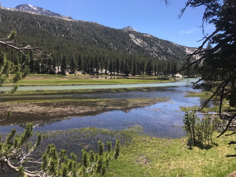
Sure enough when linking back to the PCT at the junction where you are supposed to cross, there is definitely a channel that if you misjudged your footing, was chest deep. The sheer volume of water rushing through this crossing would be enough to knock you off your feet if your not real careful. Never mind, I never have to find out.
Past Evolution Creek, the trail lead steeply down a slaty cliff face, switched backed all the way and the following along the San Joaquin River, another water way surging with snow melt. This has to be crossed several times but luckily there were foot bridges across this one.
The San Joaquin tumbled downhill with ferocious speed and intensity, rushing through narrow gorges and smashing down multiple waterfalls up to 5 metres high. If it wasn’t for the log jams I’m guessing this would be a wild ride for a kayaker.
Anyway, another long one.
25 miles in and I’m a mile from the Muir Trail Ranch to get my food resupply tomorrow. Given the short distance it also means I can have a sleep in as they won’t be open until 9am.

what was the date you went over Muir Pass?
15th of June I think. Still plenty of snow about then.
Thanks. I will be going over Muir on 7/3. Hoping snow conditions have improved.
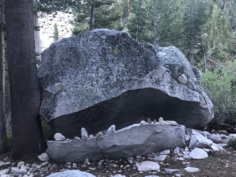
If you have ever seen the movie “How to train your dragon” you will be aware that your first photo in this post looks a lot like Toothless the dragon.
How good is that stone shelter! The next big fresh cooked feed in town sound epic haha….