Not a great deal going on today. It was another tough, boring road bash which I’m getting pretty sick of. Surely somewhere along the way some single track would be encountered to keep me interested. I’m dog tired of walking on roads.
I smashed out the morning at a brisk pace hoping to end this AAWT road walking madness by pushing the kilometres out today.
Pretty much straight from Witzes I was onto a major forest road being upgraded by Snowy 2.0. Too early in the morning for workers to be on site. There was plenty of machinery, flagging tape and fenced off areas. I’d be on this for a good 5km or so. Boring as hell and hard underfoot.
The AAWT eventually veered of the road being upgraded onto a lesser used bush track. A few more kilometres in the Tantangara Creek came into view which I initially mistook for the Murrunbidgee River. The crossing was straight forward but there was no way it could be done with dry feet so it time to put the pack down to take shoes and socks off.
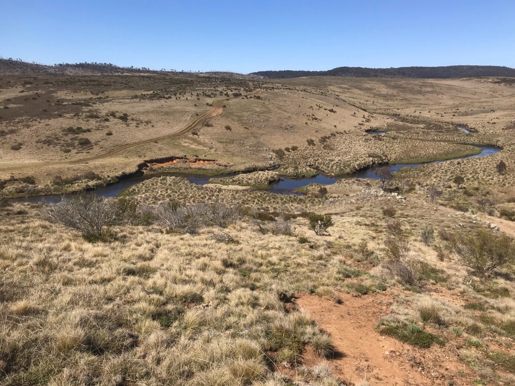
It would be another half hour before teaching the Murrunbidgee which has a reputation of being difficult to cross, particularly after heavy rains. It is around 5 – 10m wide for the most part and many hikers choose to take a 20km+ road alternative around to a bridge crossing. Not me. If you couldn’t tell, road walking for me is the worst and there was no way I would taking an alternative. I’d come prepared with a garbage bag from Thredbo, ready to put my pack and clothes in an swim across the river if it came to that.
Luckily there was no need to swim and the crossing was really straight forward, no more than knee deep. The AAWT leads to a point at the river where there is a small river which the main river splits and flows around in three or four small channels. Shoes off again but it was an easy crossing first across to the island, them across two smaller channels. Easy peasy.
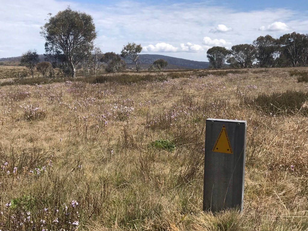
Across the other side my mood picked up. Not only was the river crossing easy the AAWT moved onto a section of single I was hoping for and craved. Anything to get off roads. This was thoroughly enjoyable however somewhere along the way I felt I was headed in the wrong direction. Consulting my map I found I was definitely off track by about 500m having followed a well worn brumby track that very much looked like a walking tracked. Correcting this error the AAWT then led over low grass covered hills. I’d loose the track occasionally but the terrain was easy to read and there was just one logical route to follow across the tops of the hills, cross a shallow boggy creek line and follow another low ridge to the high ground of an old telegraph line. I could see the old telegraph poles lining ridge and headed for them.
Nearing the telegraph line I saw another south bounder but either he or I were off track and about 200m away from either other. We didn’t get close enough to stop and say hello but gave curtesy waves of acknowledgment, staying on our individual paths.
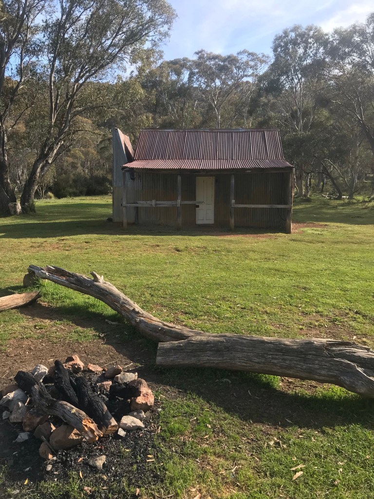
At the end of the telegraph line I was led onto another road for a few more kilometres to the Ghost Gully Campsite, where I stopped for lunch. Obviously a popular camping area for horse riders there about a dozen cars with horse floats with individual camps set up. I found some shade under a tree, plonked my pack down and sat down for lunch.
Through lunch a trail rider approached and we got taking for a descent amount. I never caught his name but learned he was from Sydney and was obviously well knowledgeable about the area, knowing a lot of history about the various huts around these parts. We were a complete opposite spectrums of the brumby debate but were respectful of each others views and enjoyed a good chat.
Following lunch the AAWT continued on roads for the remainder of the day. Along the way I popped into visit Hainsworth hut but was keen to push on towards Bill Jones Hut.
Wondering along the road my feet stumbled forward as my mind became disassociated from the body, thoughts wandering off in a thousand different directions as my legs carried me forward on autopilot, inattentive to the scenery around me, my head was down naturally scouting ahead for large rocks to avoid.
I’m keen to be done for the day and for the entire track and quicken the pace a little, not enjoying this last section as much as I thought I would. Shoulders straing under a heavy load, I contemplate trying to finish the track in two days rather than prolonging the madness into a third day.
At the top of a hill, the last for the day, I ran i to a group of three mountain bike riders and I set my pack down for a rest and a chat. That short encounter really perked me up to see the day out, continuing on the long road bash. They tell me its alls down from here, them just having come from Bill Jones Hut, my destination for the day.
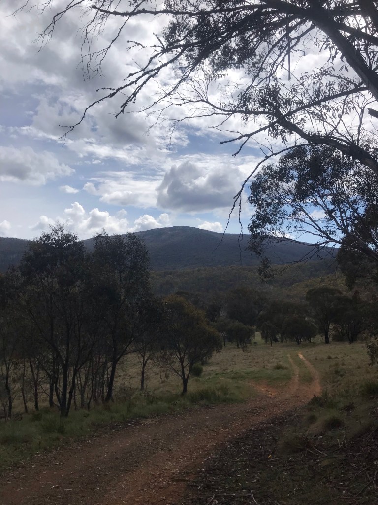
With tunes plugged in to pump me up I kept on, on fairly cruisey terrain for the remainder of the day. The highlight of the day had to be catching glimpses of the Brindabella Ranges out in front, knowing this was in the ACT and I’m nearing the end.
Exiting the AAWT and heading out into a clearing towards Bill Jones Hut, an amazing view opened up, uninterrupted by the lack of trees of the Brindalleas ahead, Bimberi Peak standing proud on the edge of the range. This would be my last night in NSW.
The last forecast I saw had tomorrow down as a wet miserable day with 10-20mm of rain predicted. If it is not too wet and there is a view to be had my plan is to climb Bimberri and tick off one of my State 8 mountains.