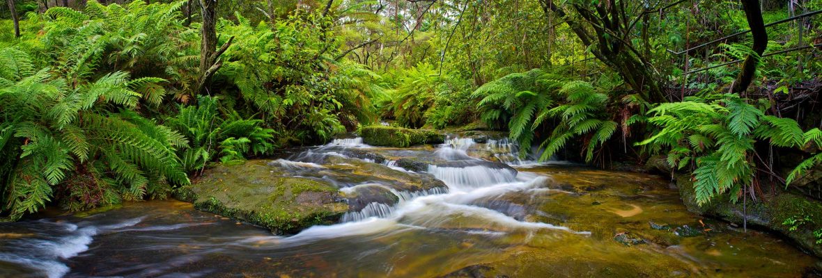
Summary: Easy half day or full day walk in the Mitchell River National Park to an escarpment bowl where Roaring Mag Creek spills down to join the Mitchell River. The falls are stunning after heavy rain. Off track walk but flagged route to the top of escarpment and views across to the falls. Back track or complete a circuit with a car shuttle. Make a weekend of this by camping in the local area.
Access: 4WD is best. Around 1 hour from Bairnsdale. From Lindenow, near Bairnsdale, head north, crossing the Mitchell River Bridge and follow Rodericks Road and onto Mt Alfred Road. Take a left onto Stoney Creek Road. Left onto Burnetts Ridge Road to Roaring Mag Road. Flagged route is 2km in on Roaring Mag Road at second fire dam you come across.
Duration: 1/2 day
Difficulty: Easy
Options: Make a circuit loop by walking north above the falls to Sandy Ridge Tk and loop back around to Roaring Mag Road.
Timing: June 2014
Working in the local area for a while and continually spying the tight group of contours mid way along Roaring Mag Creek I was intrigued – there must be a waterfall somewhere here as the contours fall 100m. I was right. A little research online lead me to the odd photo of Roaring Mag Falls (not to be confused with Roaring Meg Falls), but not much more information about these little known or visited falls could be found. It was an easy decision. I was determined to have a look for myself, take some pics and share what I found with others.
On a sunny June day I grabbed my day pack, threw in some climbing gear and headed out. I knew there wouldn’t be any established walking tracks in the area but had heard there may be a route marked down a ridge line to the edge of the escarpment from the 2nd fire dam you pass on Roaring Mag Road.
Reaching the 2nd fire dam I soon found a faded pink tape and followed it into light scrub, walking north along a faint ridge line towards the escarpment. The taped line came and went, some tapes newer than others, and the odd improvised marker passed en-route – random red undies tied to a tree.
It didn’t take long to reach the edge of the rocky escarpment with the ground falling steeply away and opening into a wide void out in front. Following around the edge, large rock slabs flanked either side of the small Roaring Mag Creek that spilled down a series of large steps to the depths below. Following the flow of water with my eyes the creek seemed to hit the deck and disappear underground beneath the jumble of rock debris below.
 Edge of the escarpment
 Roaring Mag Falls
Closer towards the creek the scrub was a little thicker but navigation was easy. I picked up Roaring Mag Creek itself above the falls and followed it down toward the edge, paying particular attention to not walk too quickly and tumble over the edge. I found a nice little corner about 20m away from the falls and secured ropes for a shear 20m abseil down to a rocky self.
Once onto the rock self I was able to scramble right across to the falls, finding a small dry cavern behind them. The natives seemed to like this spot as well based on the piles of dung left behind in the rock crevices. I suspect Wallabies but I’m not certain.
Further rock steps fell away below the main falls, where the creek cascades down and I was able to scramble down a few for a better look. It got trickier the lower down I went so I didn’t push all the way down but got some great views of the falls and was satisfied with the days efforts, turning around, climbing back up the rope and returning to the car. A great day out to a hidden treasure.
 Upper cascade
 Lower cascade
 Behind the cavern
 View back the escarpment edge


