
 Posted by
 21.0 miles
Today would see the start of my alternate route taking a more direct line north towards Butte. This would see quite a large chunk of trail that arches out west into Idaho cut off from my trip. By doing this it would save several weeks of hiking through same same but different terrain which I just didn’t care for and would provide additional time to take it easy, not having to rush through to meet a flight dead line and many more opportunities to take additional rest days. I could basically take a day off at every town stop from here on if I needed or wanted to.
Packed up and on the road to hitch out to Targhee Pass trailhead I had a ride with Bob within 15 minutes. He was on his way out to pick up his son at a different trailhead further up the highway who was out for a morning trail run.
Bob had me at the pass by 8:30am which left plenty of time to put in a decent day of hiking.
On the opposite side of the road I spied Pit Stop trying to hitch into town. I crossed the road to say G’day and have a quick catchup as cars sped by. We wished each other fare ye well as it was unlikely we would cross paths again either.
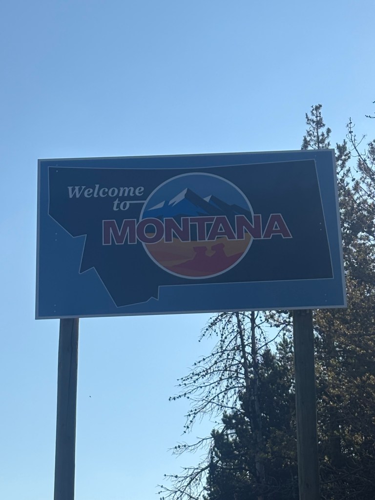
I hit the trail with my path following the CDT Red Line for 9 miles before venturing off onto side trails and onto my alternate route I’d dubbed ‘Mick’s Ultimate Alternate’. Try saying that ten times over.
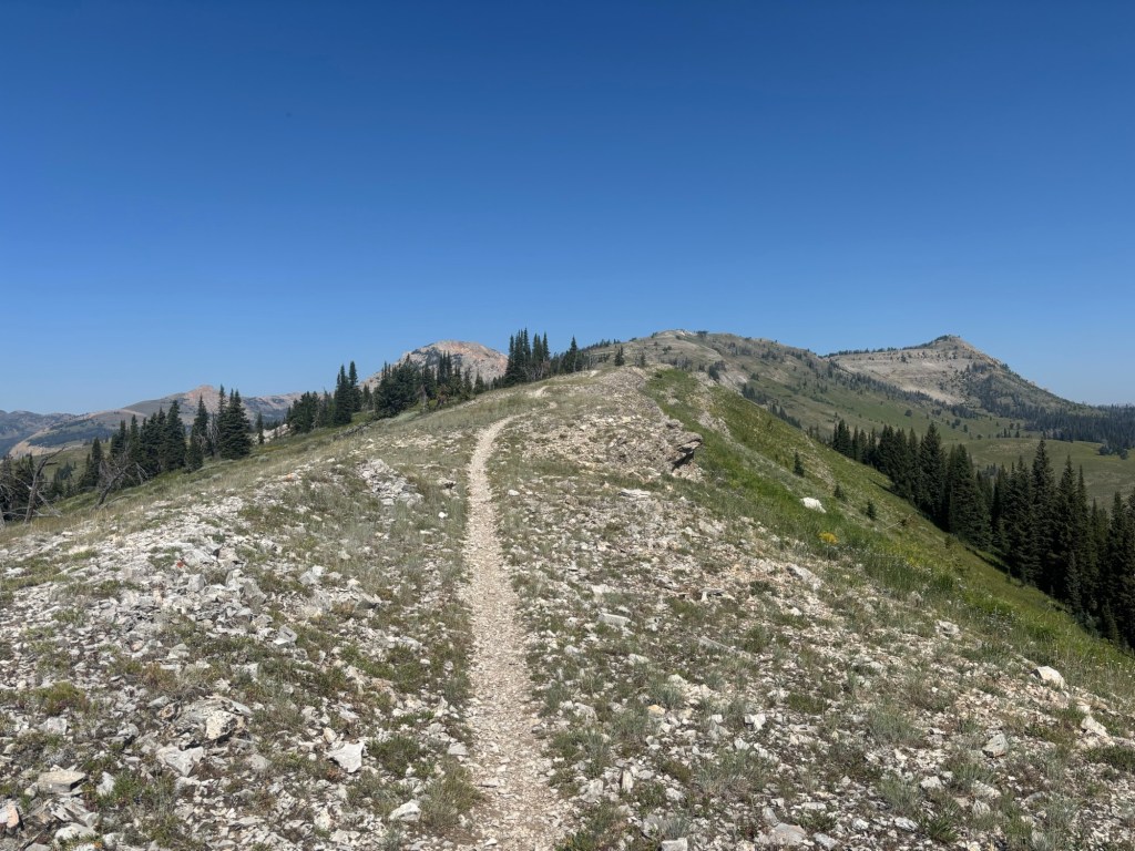
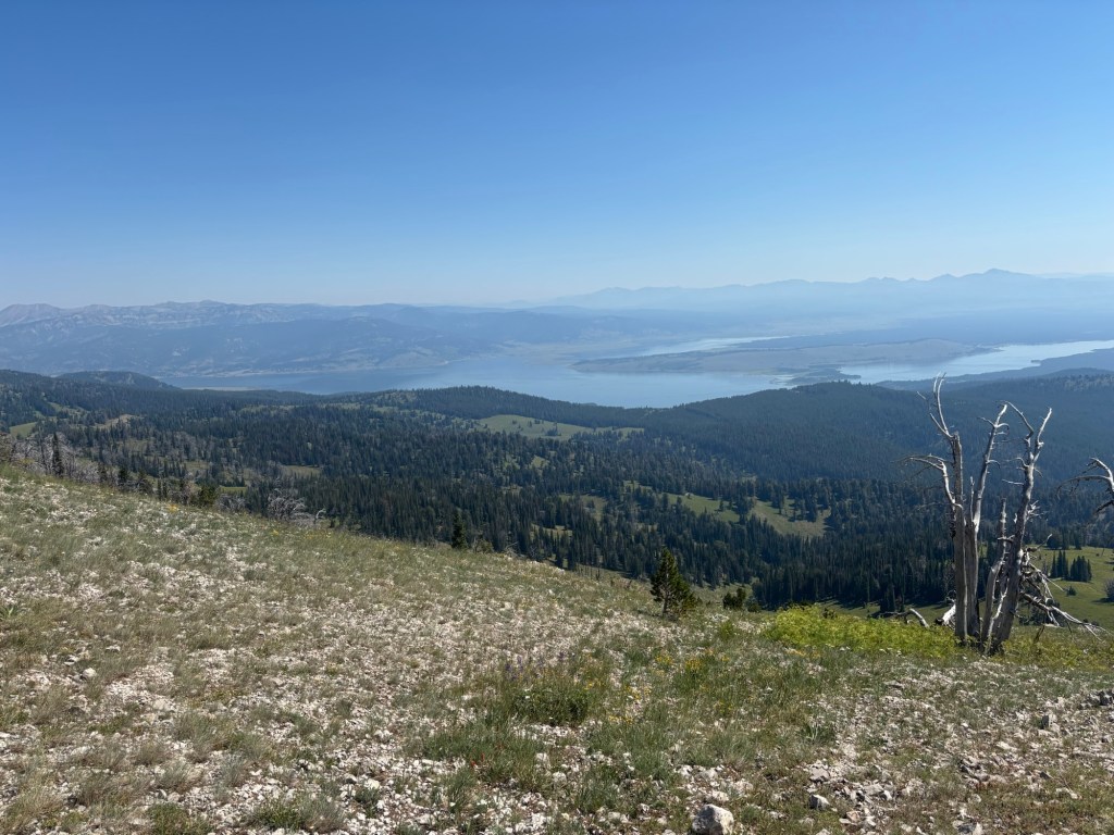
The CDT portion of trail followed a snowmobile path before kicking steeply up onto single track following a ridge line on the continental divide proper that formed the border between Idaho and Montana. The trail criss-crossed between the two states for several miles. As the trail climbed above tree line, views opened up back across to West Yellowstone and Hebgen Lake although somewhat obscured by smoke haze blowing in from wildfires further north. Of course once up top and over a pass the trail headed straight back downhill on the other side along switchbacks.

Just on lunchtime I ventured off the CDT and onto my alternate route.
I was immediately impressed by the standard of maintenance of the alternative trail which seemed to be better than the CDT itself. The path was wider and blow downs had not just beeb cleared with a narrow pass but fully cut up and cleared well away from the trail. Perfect. I was going to like this alternate route.
My route had me following Watkins Creek Trail for several miles with a bushwhack across country to link onto Sheep Lake Trail, both well used by hikers, horse riders and mountain bike riders based on impressions left in the dirt.

Once linked up onto the Sheep Lake Trail it was a long and gradual climb up. Hard and sweaty work but at least it was on switchbacks and not straight uphill. I took my time with frequent short breaks, resting in tree shade where it could be found. Water was plentiful and I was regularly sucking down icy cold water directly from my water filter connected to a bottle.
Reaching the top of an unnamed path the mapped route was way off from what was constructed on the ground but it became obvious that a series of switchbacks led down rather than following a direct path and were leading me in the right direction. I followed my nose. Sure enough although well off the mapped line I was where I needed to be soon following a trail adjacent to Sheep Creek.
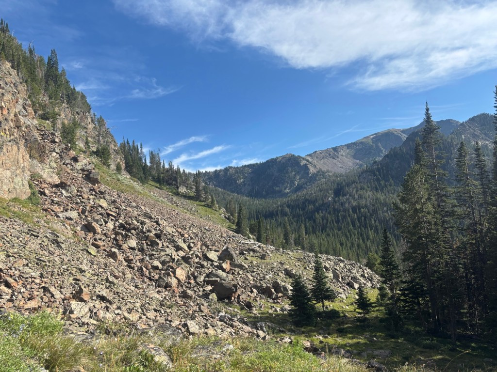
I wasn’t quite sure how far I would hike today as I didn’t really have any idea on the terrain or standard of trails other than what I could read from map contours and mapped vegetation. Sheep Creek Trail would follow the creek down stream and was fast walking.
By very late afternoon into early evening I was searching for suitable tent sites with nothing really presenting itself. The trail sides were either too steep, rocky, covered in thick vegetation or a combination of all three. I kept pressing on to eventually arrive at a trailhead with a small carpark. Several cars were parked up with the drivers obviously out bush for the night. There was no tree cover however I managed to find a flat piece of ground with grass cover just off to the side of the parking area. That would do me for the night. Smoke haze made for a spectacular sunset on the open horizon.
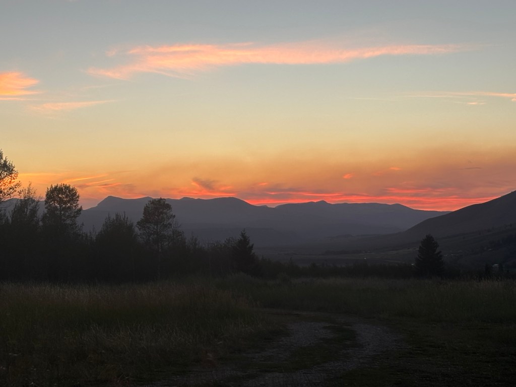


Love that last pic.