 Posted by
 25.4 miles
It was another very wet start to the day packing up a wet tent. I’d need to find opportunity to dry at some point today. Brushing past wet vegetation overhanging the trail my rain layers were saturated only a few minutes in for the day. Shoes and socks soaked through as well. Rain fell off and on through the morning and the umbrella came out. I found it easier to stow it between my back and lower shoulder straps when not in use. Much easier to quick take out and trade places with a trekking pole instead of stopper and taking my pack off and on each time.
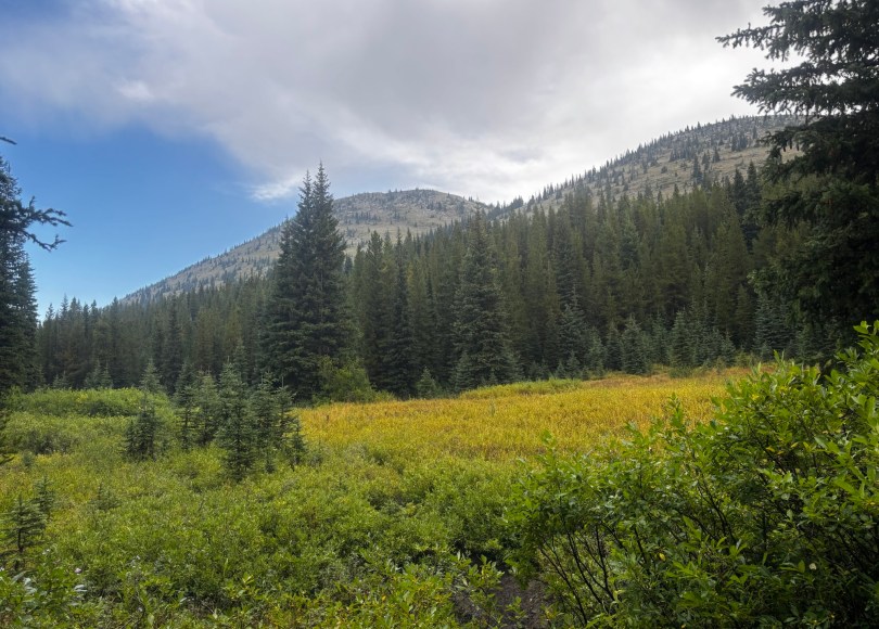
Even when it wasn’t raining it continued to be wet along the overgrown trail. I’d try to use my trekking poles to knock taller vegetation in front of me in an effort to knock off as many rain droplets and send them to the ground before pushing passed.
Arriving at a trail junction to Beaver Lake it started to pour down again and I lost focus on which direction I should have been going with my head down focused on the wet ground. It would be downhill to the Lake in around 0.2 miles. I was going downhill but it seemed to be taking much longer to reach the lake than expected. Juggling my umbrella and retrieving my phone while trying to keep the screen dry I looked at my maps and of course I’d taken the wrong trail from the junction. I could only laugh at my stupid mistake, turn around and hike straight back up hill again to the correct trail, pressing on. When it’s wet there is no point sitting around waiting for it to clear so I just keep moving. I’m not going to stay any drier and it keeps me warm. I kept going for long stretches through the morning encountering a solo south bounder. “We both needed showers today right?” he laughed as we past each other not stopping to talk too long.
Around midday the rain had disappeared although the trail was overgrown and the encroaching vegetation still wet. I’d arrived at North Badger Creek to find a nice open clearing exposed to the sun. Time for lunch and explode the contents my pack scattering any wet gear across clearing to dry wet. A light breeze assisted.
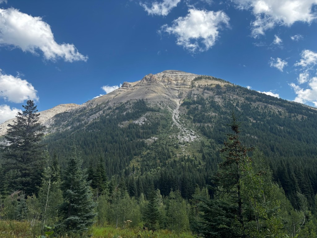
The afternoon was pleasant and uneventful tucked down under tree canopy. I am loving that while there are to be climbed here is not much altitude to deal with. Most high points are below 8,000 feet.
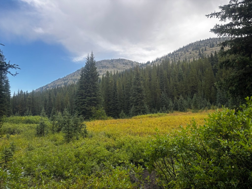
The skies had cleared and I was back in shorts and sun hoodie. To push through the late afternoon I started to play a game of guessing how long it would take me to travel between various waypoints and see how far off I was. This deep into the CDT I had almost become expert at judging my travel time based on distance, terrain and elevation gain/loss. Quite often I’d be within a minute or two of my time prediction. For example with 1.2 miles between two creek crossings, on flat ground and no elevation gain should take 22 minutes. I played this game for a few hours to pass the time always only a few minutes out from my estimates.
I stopped for the day at mile marker 2,912.6 at a trail junction with a nice campsite on the edge of the Sun Fork Two Medicine River. Tomorrow I’d reach East Glacier, my last resupply point.