 Posted by
 25.1 miles
Away early by head torch in the dark I was on alert for large animals. It really isn’t the best time to be hiking but today would be a big day and an early start was called for. Sun rise isn’t until 6:45am now and with tall mountains to the east it would take longer for the sun to clear the peaks and make its way into the valley I was following.
Despite consulting my map multiple times I somehow took a wrong turn at an obvious trail junction ending up 0.4 miles down the wrong path in the dark. This was frustrating as it would add close to another unnecessary mile onto my day. I only stopped heading that way when spooking a bull moose. The loud and sudden movement of a very large bodied animal in the bushes stopped me dead in my tracks. Waiting for it move off I quickly realised I should be headed uphill by now but I was still down low on the flat. Arrhhh… Nothing for it but to turn around and head back the right way.
By now it was getting easier to see in natural light and I spied the trail sneaking its way uphill around 0.1 mile above me. Rather than head right back to the trail junction I cut across country and headed straight to it. This would save a little distance and some time and take me up to Triple Divide Pass.
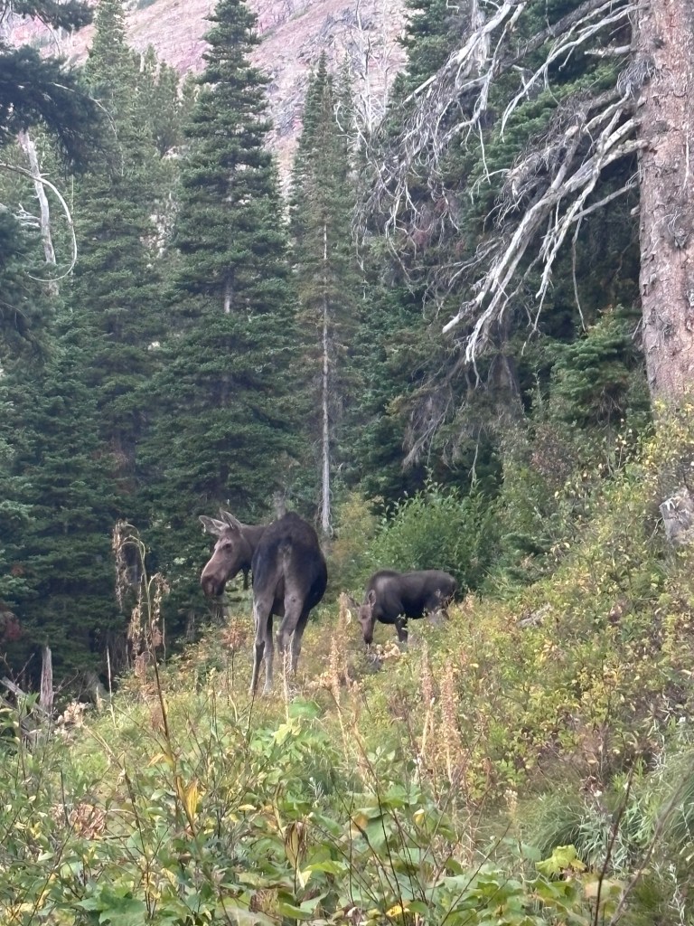
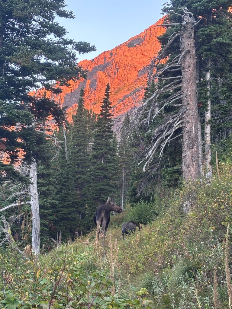
The climb was definitely uphill but well graded and easy. It would be a 4 mile climb. Along the way I encountered a cow and calf standing right on the trail. Neither of us would move and we ended up having a standoff for ten minutes easily. Seeing that the animals would not shift I started to climb up the side cut off the trail to bushwhack up and around them. The noise and movement in the scrub was enough to finally prompt them off trail on the down hill side.
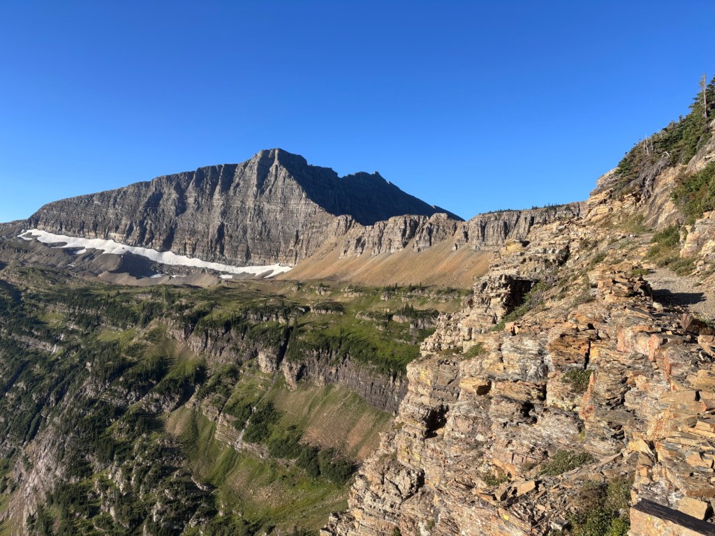
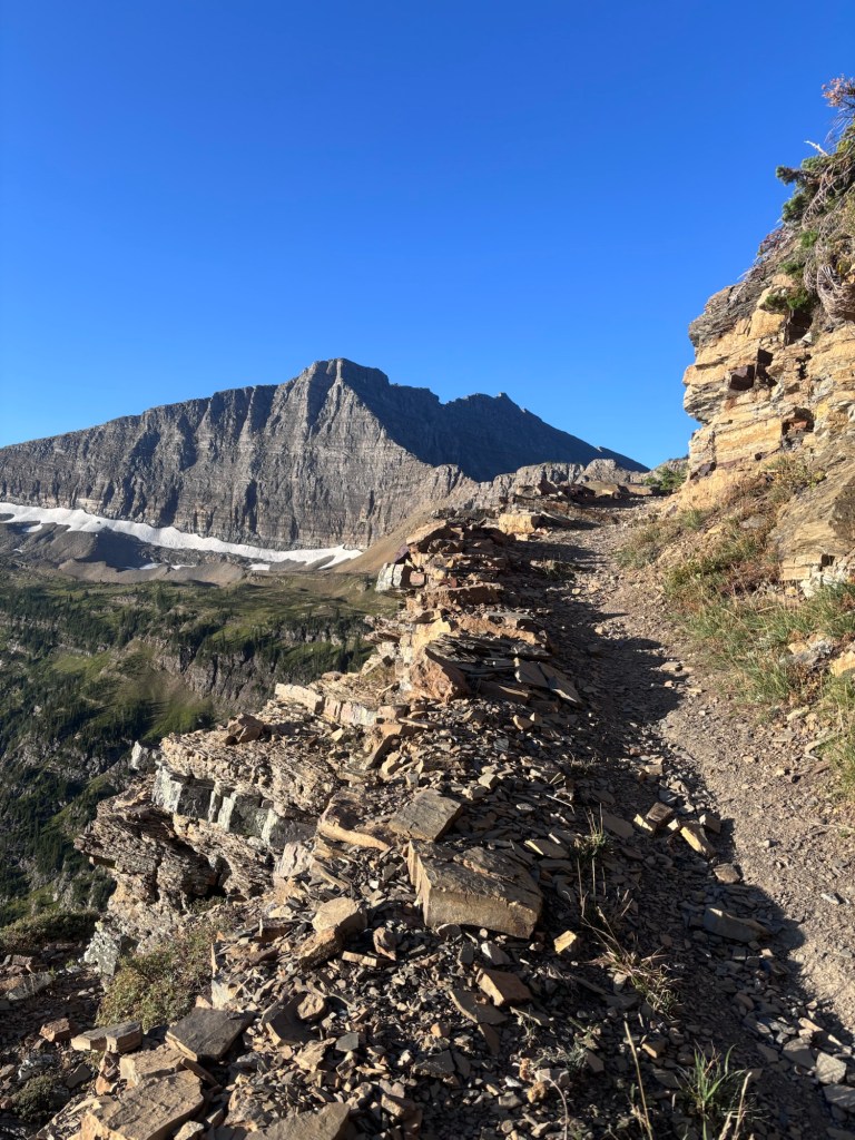
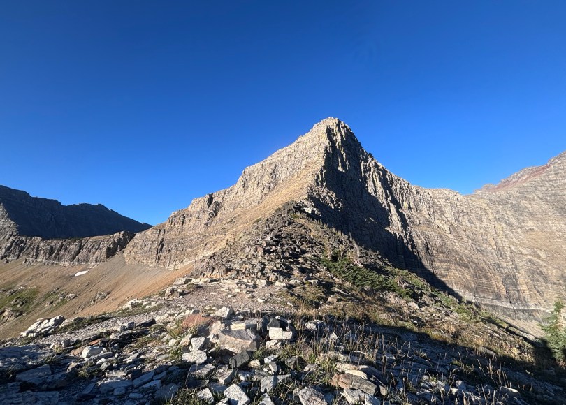
I made it up to Triple Divide Pass, stopping for a break. Here water can run into three oceans – Pacific, Atlantic or Arctic. The child in me imagined climbing the adjacent Triple Divide Peak and pissing off the top.
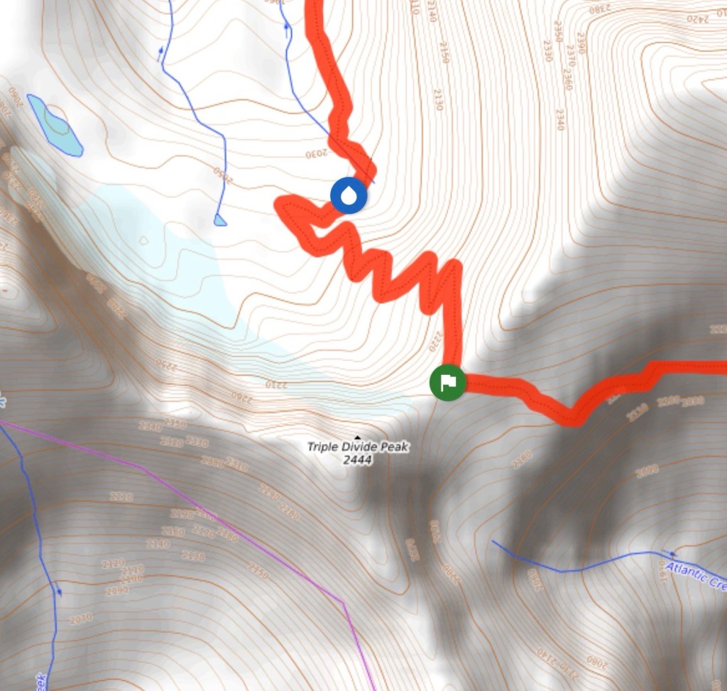
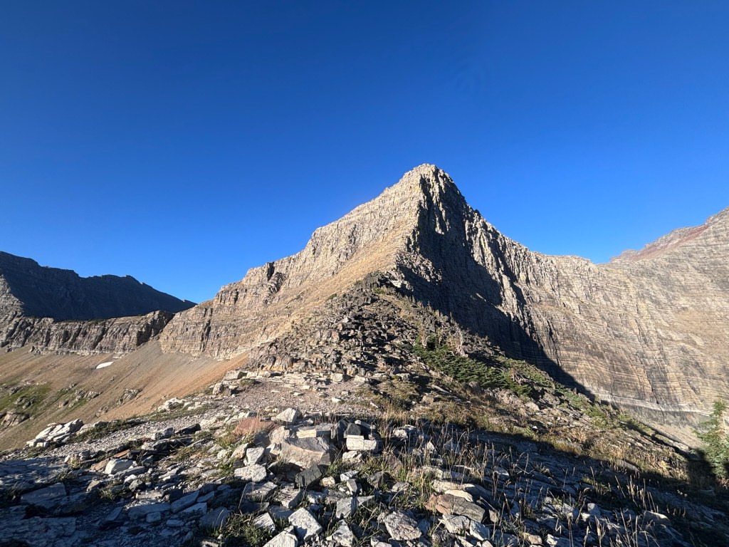
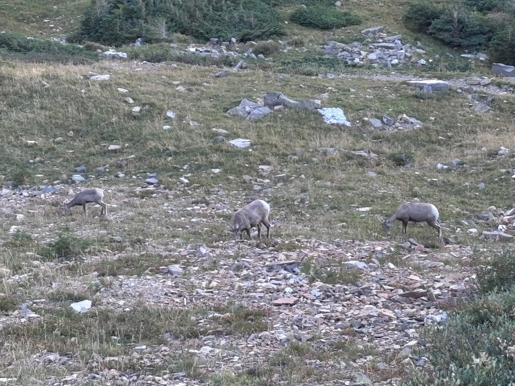
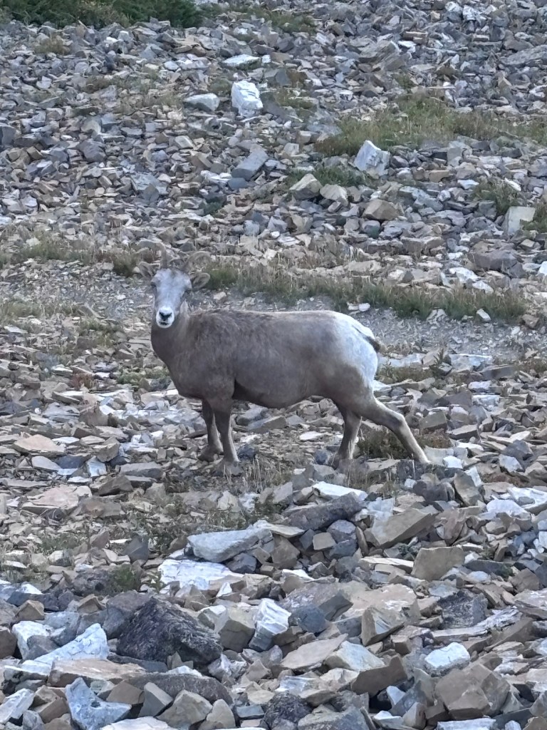
Descending down the other side the trail retained its steady approach with a slightly steeper grade. Big Horned sheep were the stars of this side of the mountain, small herds and their young ones grazing on the hillside.
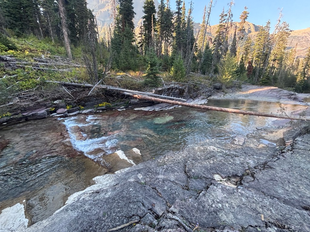
Once down on the valley flats the trail quickly turned from lush green forests into yet more fire affected areas with not a lot of shade. The rivers along the valley were big, clear and inviting for a swim however it was too early in the day. Had it been afternoon, for sure I would have jumped right in.
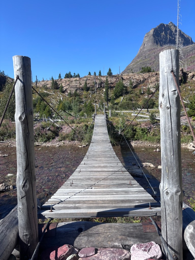
Late morning I stopped for a break at Red Eagle Lake. My initial intention when booking permits for Glacier NP was to camp here however it was fully booked. And now that I am here looking at the place I’m glade it was booked out. The camp site looked terrible. In burnt country it was out in the open and exposed, no shelter from either wind or sun. I quickly moved on.
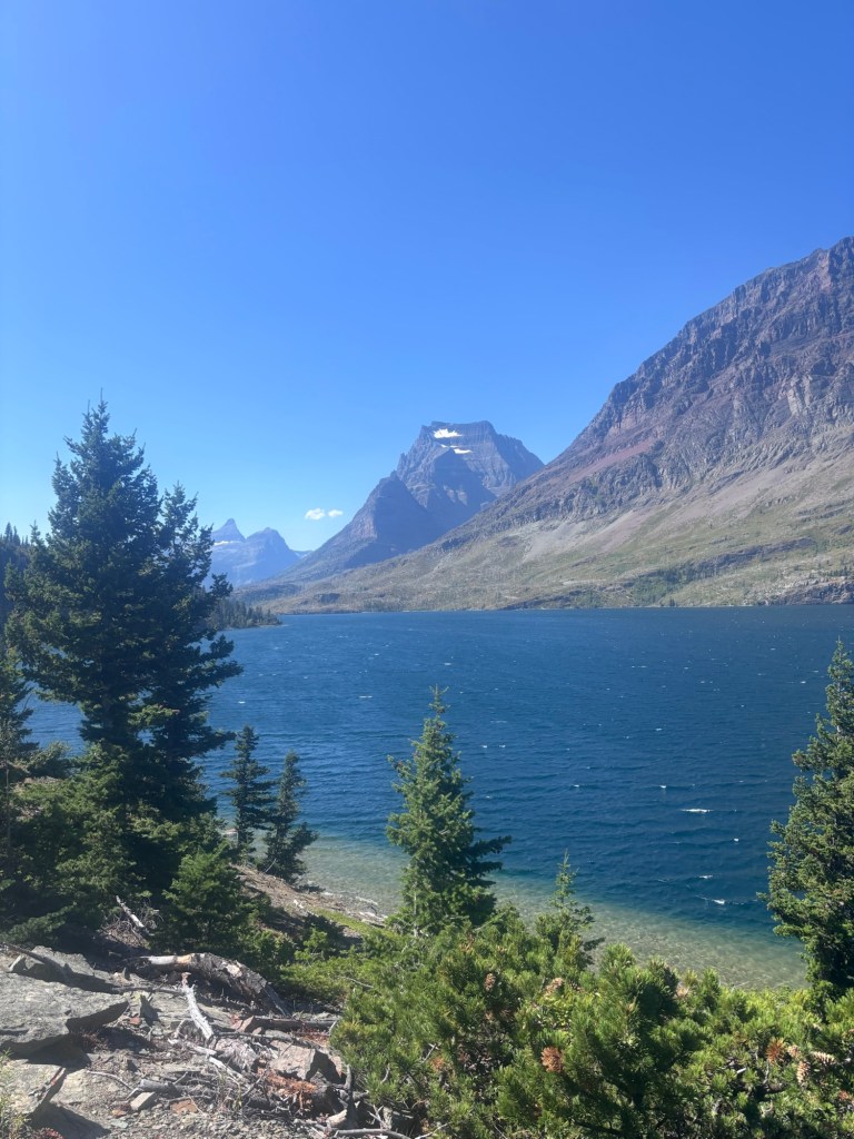
Rest of the day was straight forward and relatively flat, leading over to Saint Mary Lake and contouring across-slope, high above the actual lake. This was a bit of a shame as walking along the edge of the lake would have been cool.
I ran in two separate groups of weekend hikers and a later a solo hiker named Darkness who had hiked the CDT south bound last year.
It must be ‘National Moose Day’ or something as I had a another standoff with a different moose cow and calf. Here the trail was narrow, heavily vegetated and sidecut with steep banks on both the up and down slope sides. There really wasn’t much room to manoeuvre and this pair did not want to leave the trail at all. At least they were faced away from me and not headed towards me. Rather than have another long motionless standoff, I decided to cautiously approach in the hope they could be encouraged to move aside off the trail and let me pass. Of course, they weren’t going to do that were they. I crept forward alert to what mum was doing and would close the gap only to reach a point at which the animals would spook and take off further up the trail. This continued for close to two whole mile. Eventually they bailed off the side and let me past.
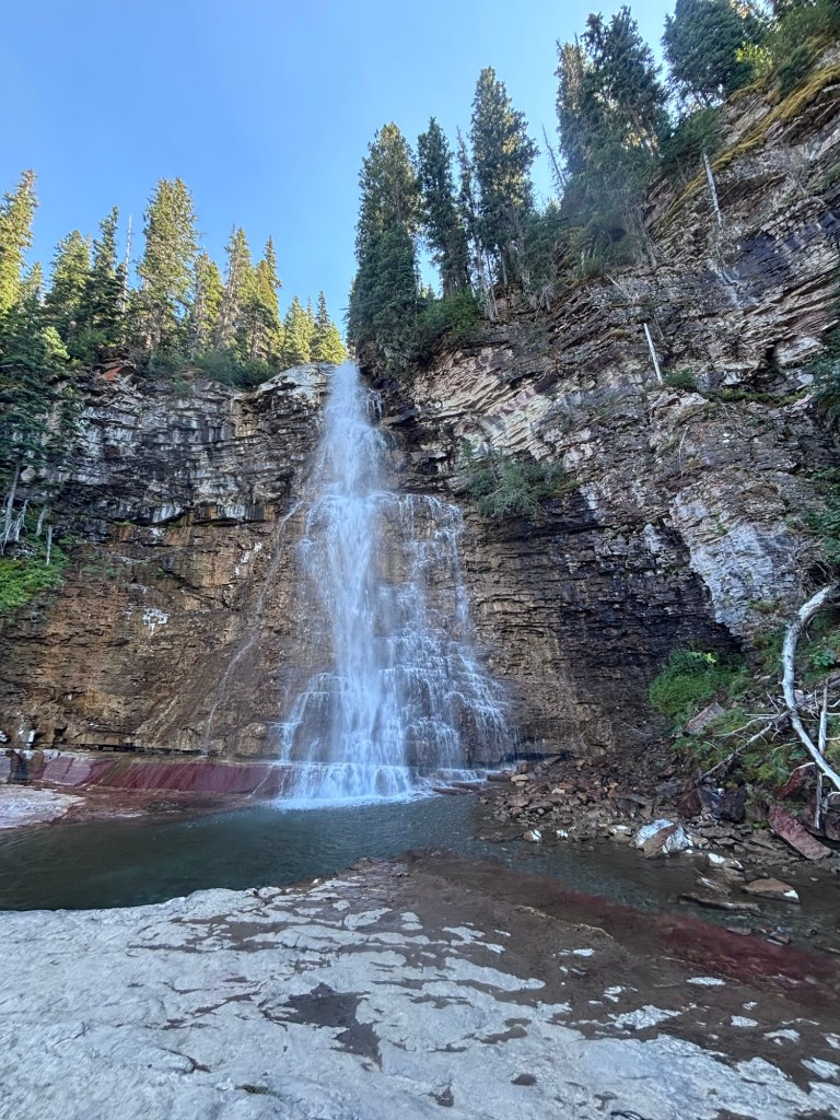
I knew I must have been approaching the ‘front country’ again the trail immediately widened and the standard improved on reaching a bridge and a privy. Looking at my map I was close to Virginia Creek Fall and took a five minute side quest to join the hoards of tourists to have a loom. Coming from virtual solitude into a an instant crowd was a bit overwhelming. I got my photo, although difficult for a clear shot without someone standing in the way and was outta there.
In the late afternoon I met Thomas about a half mile from Reynolds Camp and walked into camp with him. He was an interesting guy, a sound engineer from Nashville, Tennessee out for a week long hike through Glacier. We had many an awesome conversation while we cooked and ate dinner.
Later CDT hikers who I met in Colorado, brother and sister, Banks and Moss from Thailand came into camp. It was so good catching up with them and sharing stories with half a trail between our last meeting in Silverton. Unfortunately they tell me the last section of trail to Waterton may be closed due to a dead elk and bear activity. Arrhh, again. This is bringing back memories of the PCT and the last 50 miles of a long trail potentially closed.
If there is one lesson all these long distance trails have taught me it is to no fret over the things you cannot control or change, go with the flow, adapt and overcome through an alternative action.
What was planned to be a leisurely day into Many Glacier tomorrow will now see me set off very early to race into the Ranger station to have this closure confirmed or refuted and possibly look at changing my permitted campsites or looking for alternative routes to the Canadian border. I may have no option other than to finish at the Chief Mountain terninus.
Less than 50 miles from the border now.
The bonus for today, Reynolds Camp has the best swimming hole on trail to date.