 Posted by
 22.9 miles
It would be a late start for me today as I had to mail off my resupply to Ghost Ranch except the Post Office wouldn’t open until 8:30am. Still it was a 2.8 mile hike from the motel to the post which would take about and an hour.
I had breakfast with X-Ray, completed the final pack of my pack and sweep of the room to ensure nothing was left behind and hit the road around 7am.
Talk about being weighed down. I had food for 5 days to see me through to Cuba and an extra 4 days food to mail out. This was in a separate small handy bag strapped to my front to distribute weight a bit more evenly on the way i to town. I headed into town following the historic Route 66. It was a slog I’m not going to lie however today marks the end of road walking, just a few more miles into town and a few out to the trail head.
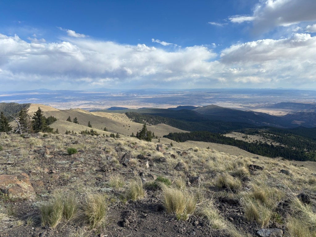
Arriving at the post I met Chowdah and we discussed plans for the day. I was a little indecisive. There was the Purple Line that could be taken late in the day that would lead up and over Mt Taylor at 11,300 feet, a climb of over 5,000 feet or the Red Line that stayed low. While very steep and the highest point that the trail would reach thus far Mt Taylor offered incredible 360 degree views back across the flats to Grants and the surrounding countryside. All the really cool stuff has been on the alternates so far and I was looking forward to the challenge of a steep climb but I really didn’t know how I’d handle such a rapid ascent in elevation. We way I looked at it was that Mt Taylor would be great prep for Colorado. I’d reserve my decision until at the trail junction later in the afternoon.
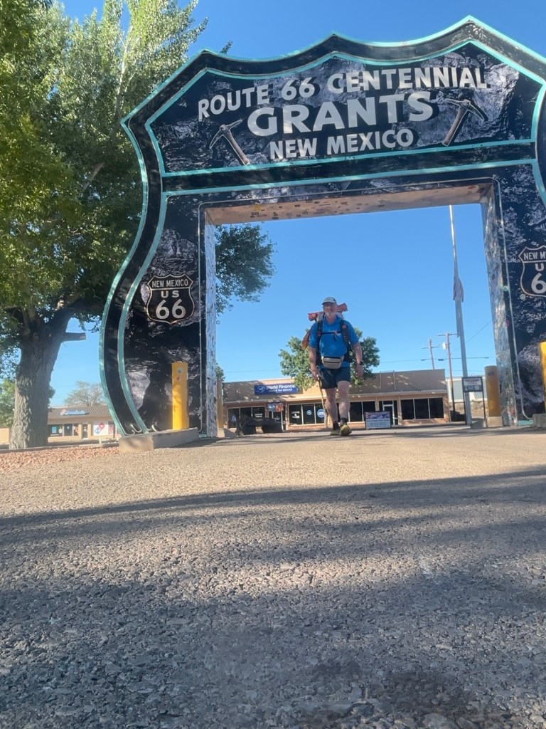
Post Office chores completed we hit the last of the bitumen to get out of town and back to trail. While Chowdah does long distances daily he is a little slower than me and he fell of the back of the one man peloton. Still at 75 years young this guy can move.
Not much to report along the road out other than passing street signs stating CDT hikers can get water in various locations and passing one of the several prisons Grants is known for. No chance of hitching this section with warning signs in fact stating do not pick up hitchhikers.
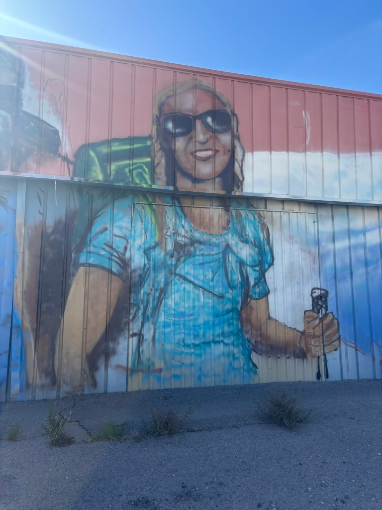
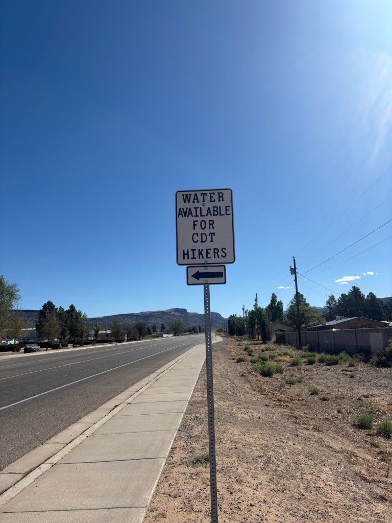
I arrived at the trail head to be greeted by Steady and Triston, now formerly known on trail as IQ. I thought these guys were behind me but they had caught up by not taking a zero in town. A short time later Pritch rocks up. We decide to wait a but got Chowdah but after 30 minutes you just have to do your own thing to get your own miles in. Steady and IQ headed off. I followed shortly later. Pritch and Chowdah had been walking together for about a week now and Pritch was keen to wait just a little longer.
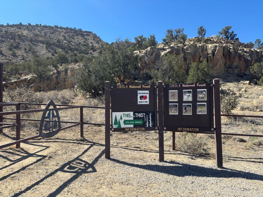
Entering back onto real trail knowing 90% of the hard road miles were over felt amazing and instantly lifted my spirts. Back onto single track!
The initial miles were steep and I took it easy to test the ankle, plus it was hot. Back to the build up of salt crystals on my shirt.
(I’d also opted to trial a new sun hoody which was $17 from Walmart as no matter how hard I scrubbed the shirt I had it still looked absolutely grubby with so much in grained dirt. Thats what you get for taking a light coloured shirt.)
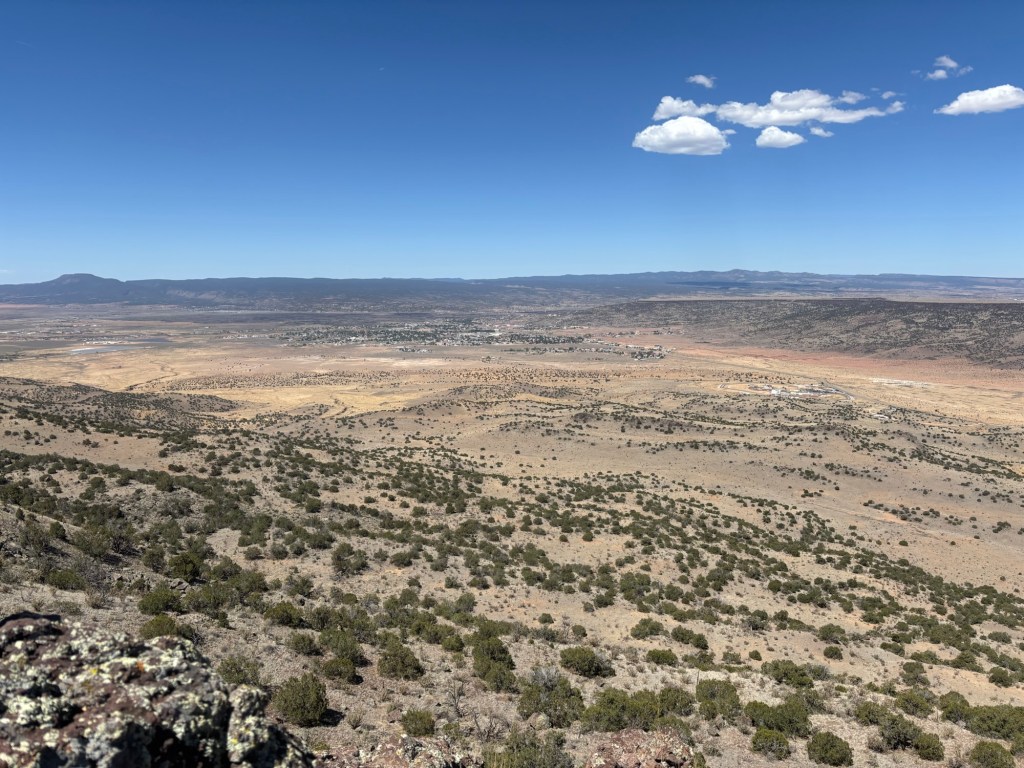
Soon enough the trail reach a high plateau with a really clear view back to Grants, and from here completely flattened out which I was not expecting but loved. Fast miles are good miles.
I was having issues with my pack at one point with a deep grinding pain on the back of my left shoulder, almost like a pinched nerve. Maybe it was just the heavy pack. At one point I would only hike for around 45 minutes at a time before having to take my pack off and rest my shoulder. I played around with multiple strap configurations trying to solve it, loosening the main shoulder straps, tightening them and playing with tension on the chest straps. By lunch I had it figured.
Around 3 pm I reached the Red Line- Purple Line junction where I found Steady, IQ and X-Ray. There was a water spigot here and everyone was topping up water. Pritch joined us shortly after.
It was decision time – Red pill or Purple pill?
If was 4.3 mile to the summit with plenty of day light left. Steady and IQ would take the Red Line, X-Ray would the purple. In the end I decided to gate the alternate to Mt Taylor. As I said, alternates had nit failed to please thus far on trail. I liked the idea the challenge to make the ascent but wasn’t looking forward to camp on top as it would super chilly with a high wind at elevation. So if I did go up I’d be continuing on over the other side to the next sheltered saddle.
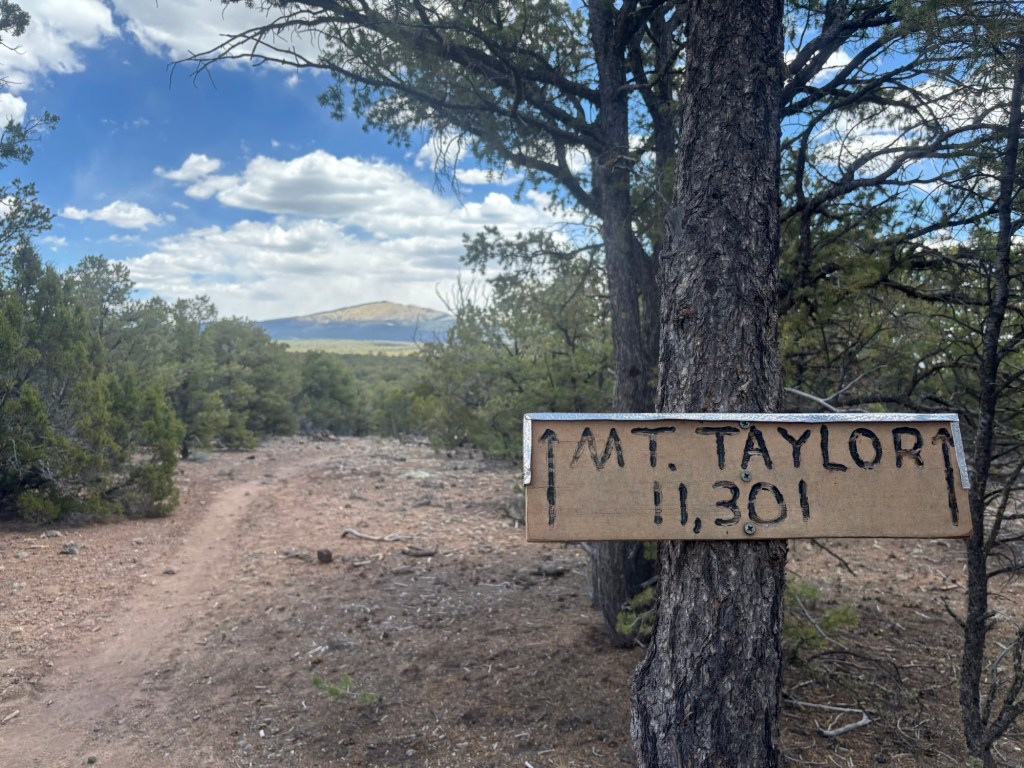
The Purple Line it was. As expected this was incredibly steep and took far longer than I anticipated. Up and up and up. It was a fast ascent through 5,000ft and I had to take my time with multiple mini breaks to catch my breath. At one point high up on a series of switchback I actually felt light headed with the sudden elevation gain and had to immediately sit down. It soon passed and I took it real slow from there one deliberate step after the another. If this was only 11,000 feet imagine what Colorado was going to be like. Although much of Colorado stays at height not ascending ridiculous heights straight off the back.
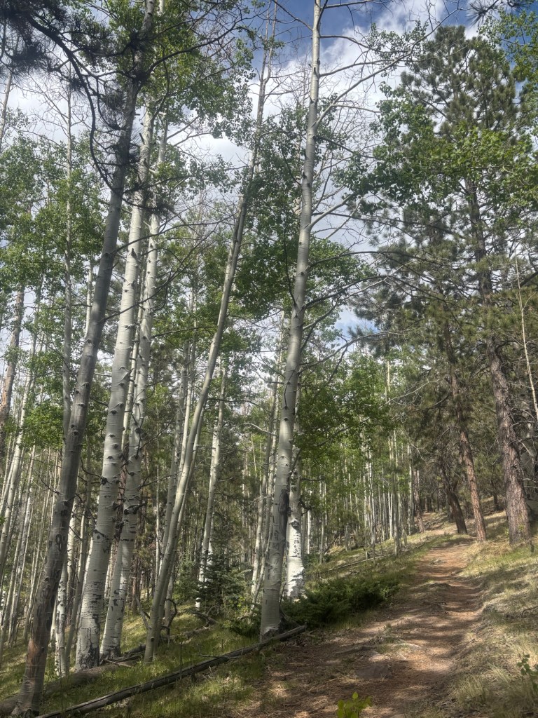
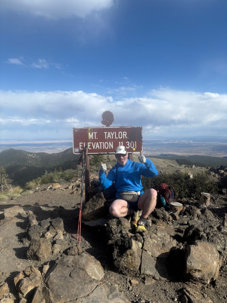
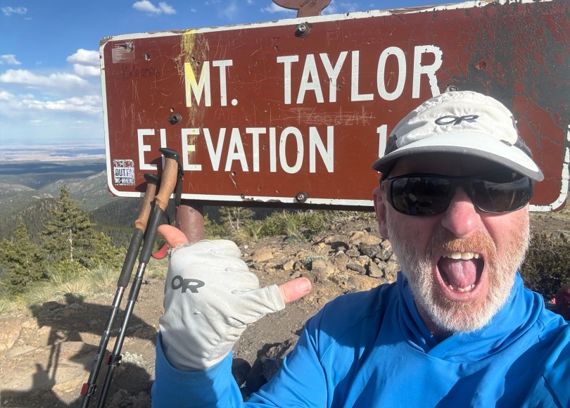
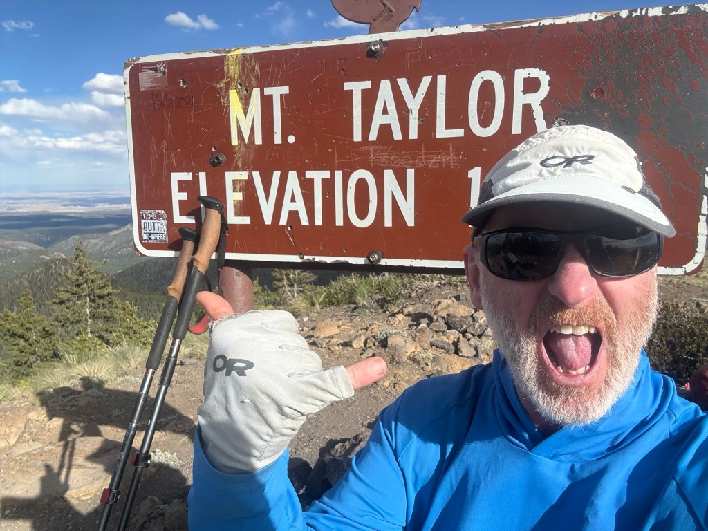
Of course I made it and was ecstatic having made the top around 17:45, X-Ray there to greet me. As expected it was chilly in the wind and we didn’t linger long, just enough to take in the view and grab some photo. We continued down over the other side into the shelter of trees.
I pressed on for another mile reaching a saddle with flat ground and several incredible sheltered camp sites to choose from. I was spent. Ahead was another 0.7 mile of ascent that X-Ray wanted to complete tonight rather than in the morning and he continued on. Me, I’ll tackle the climb with fresh legs in the morning