 Posted by
 20.4 miles
AYCE – this is the acronym that every hikers loves to see: All You Can Eat. I found Bluejay and Redline at the breakfast buffets and joined them as we loaded plates with breakfast goodies to kick start the day. We talked tactics for the day ahead, about hiking, gear and life in general.
I had a small resupply to do at the general store before heading out so would part ways with my breakfast company for now but would catch them later in the day. I needed to purchase lunch, snacks and dinner for today. I always seem to walk out of shops with more than I intended to purchase and that was the case here, toting out a plastic bottle of spiced rum just because and a can of Guinness to accompany the Italian sub purchased for lunch.
Resupply complete I hit the road to hitch back to trail. Within 15 minutes I had a ride with Max a tour operator who was on his way to pick up a guided hiking group and drop them at the same trail head I needed to get to. I was back on trail by 9am.
The trail again saw a mixed bag of terrain from flat and in the trees with few fews, to along the shore of Shoshone Lake, to swamps and through more geothermal areas.
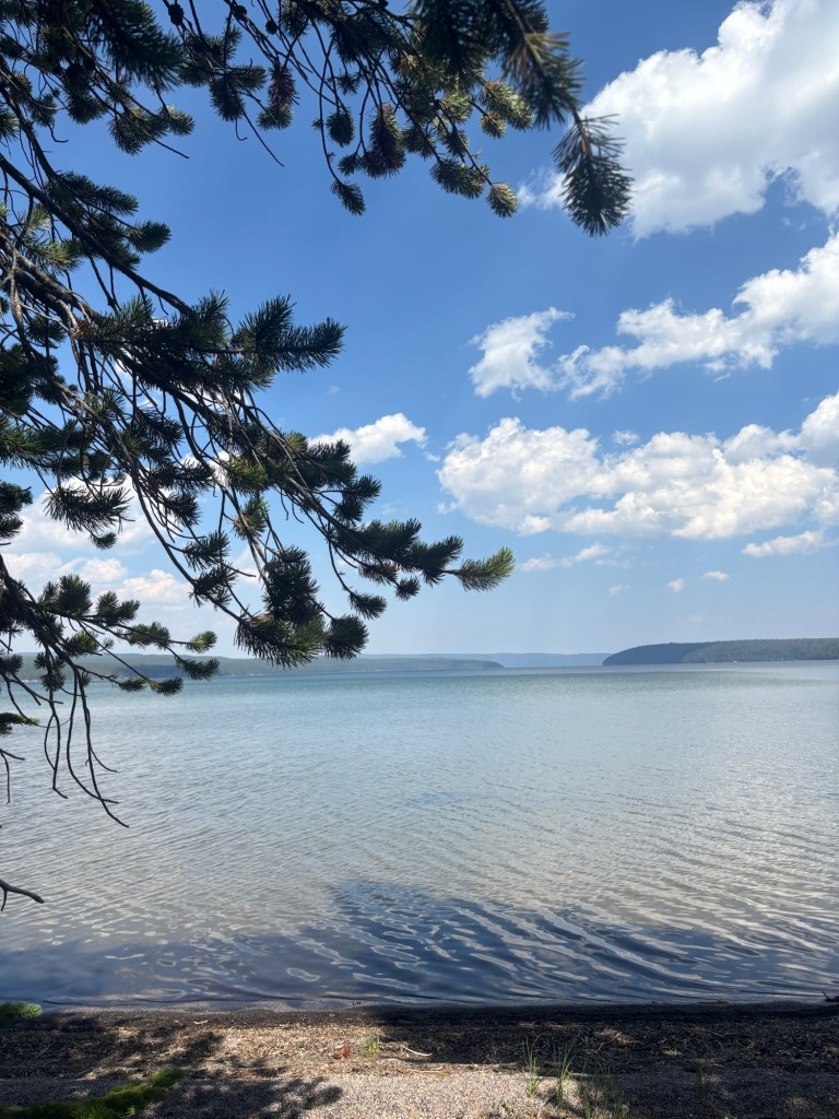
I was along the shore of Shoshone Lake in the early afternoon on another incredibly hot day and was looking forward to a refreshing swim. Wading it was too shallow for a full immersion and I had to settle for a quick dip laying down in thigh deep water, just enough depth to cool down in. A light breeze provided an additional cool down factor as I sat on the shore drying out.
A short distance on from the lake a real swampy area appeared with the entire trail submerged underwater with no chance for dry shoes unless it was traversed barefooted. Not knowing what lay beneath I opted to keep shoes on. The water looked clear and I took the first step, immediately sinking into a knee deep hole in deceptively looking grey sand. Whole next section reminded me of hiking in southwest Tasmania tramping through mud and tannin stained brown water.
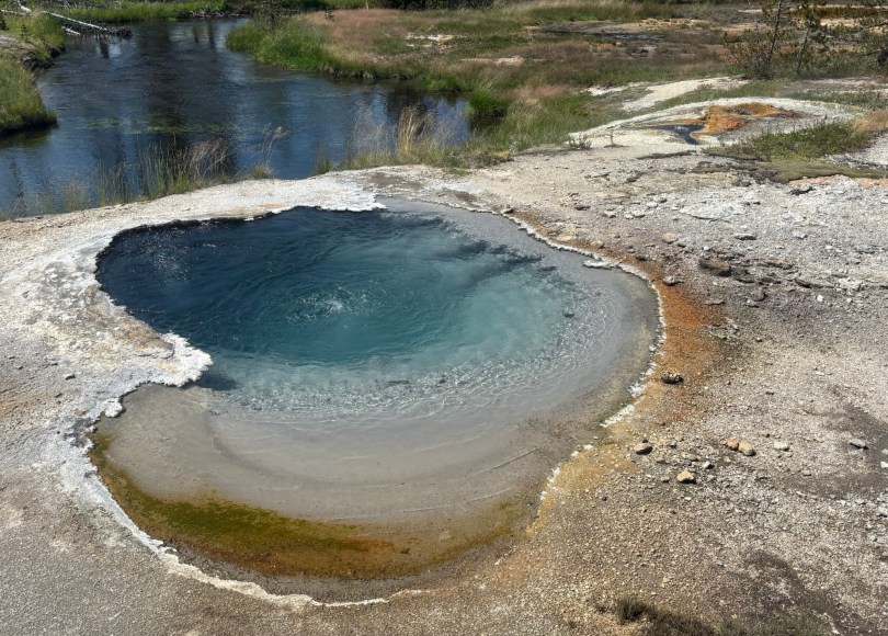
The swamp made way to smell of sulfur in the air as the trail entered into another geothermal area with multiple geysers right next to the trail. One geyser would erupt every 90 seconds or so. Traversing past it had to be timed carefully to avoid being sprayed by super heated water.


From here the terrain was flat and in the trees with few views for the remainder of the way to the Upper Fire Hole campsite. Along the way I caught up and passed Redline and Bluejay. They would meet me at camp later in the afternoon.
Just like Surprise Creek, Upper Fire Hole was a shitty camping site with lack of established tent sites and very little shade. Hikers are getting the sense the allocated CDT campsites are the shittiest ones in Yellowstone. There doesn’t seem to much of an option for CDT hikers to switch permits to other sites which seem be tied up in a lottery system for ordinary folk. The frustrating thing is that when you walk into other sites they are unoccupied and opportunity would have been there for CDT to camp.
Redline and Bluejay rolled into camp followed shortly after by a new NOBO hiker Guardian. Later brother and sister south bounders Botch and Bean would also arrive.
Another large group to share stories with over dinner was great. Just about the whole length of the CDT has either seen me camping alone or with maybe one other hiker, so the opportunities to camp with larger groups through Yellowstone has been appreciated.


That lake looks hugh?