With around 12 miles left to complete before getting out to Hwy 117 I was up early and on the road by 5:45am. Chowdah wasn’t far off leaving. Pritch’s tent was still up. I headed out alone. Ahead was a 7 mile road bash to the next water source and another 5 miles to the Hwy. Keen to get this over with I basically didn’t stop until the water source.
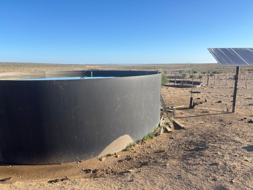
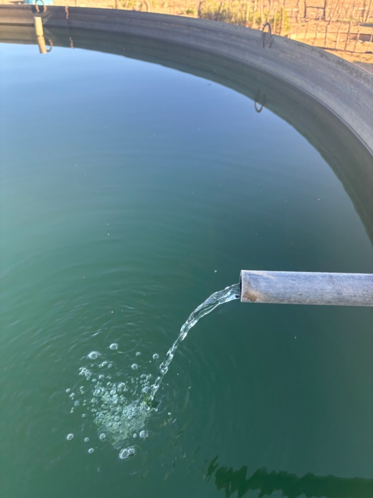
Reaching a reliable water source was fantastic. Clear running water directly from a pipe being fed from underground. Regardless of its source I still filter everything. Just as I had finished filtering I was joined by Chowdah, X-Ray and Christina.
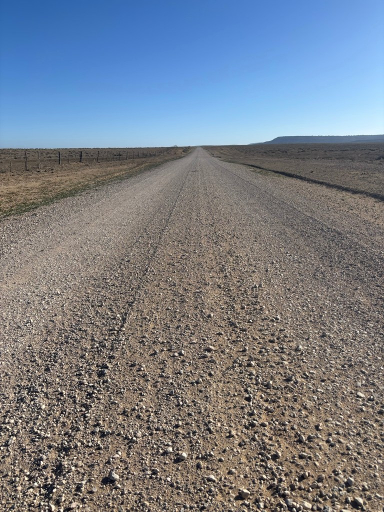
The landscape around the remaining road section really opened up in flat, barren farmland with very little vegetation or shade cover. While still early the sun was out and it was going to be warm. I pressed on trying to gain as many miles as possible before it got too hot. Through to lunchtime it was all going to be road miles.
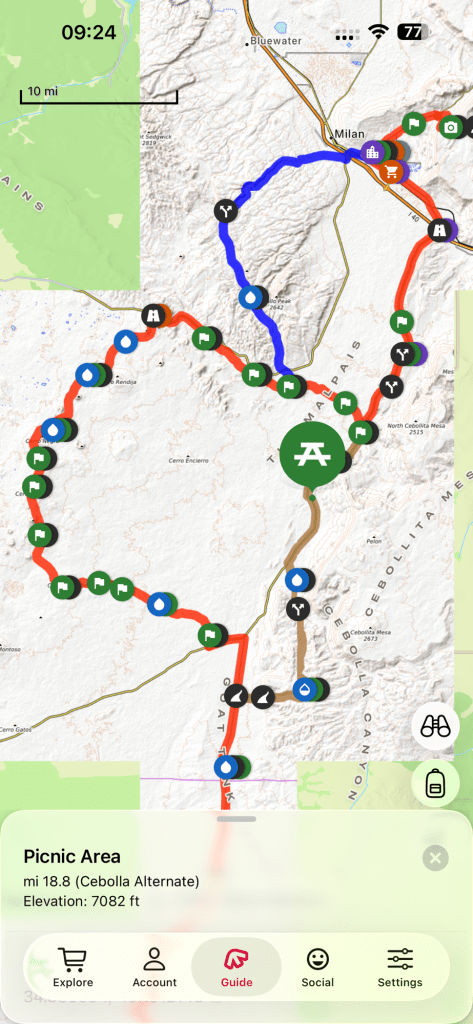
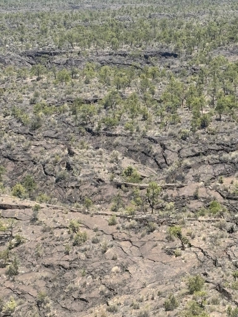
I soon hit a decision point at the intersection of the Red Line and Brown Line. (Trail magic at this intersection with a nice cold Pepsi – thanks Jen Is Trouble.) The true Red Line continued to Hwy 117 and would head west to loop around a huge lava field. I’d heard nothing but bad reports of this section. Walking on lava is always tricky and people who I know who have hiked that section have regretted it, saying that it’s ok for the first mile or so to get an appreciation of the lava but beyond that is it misery. Tricky terrain, exposed in the sun and zero water sources. At least it would be trail and off the road. It would also take a day and a half.
The Brown Line section cuts off the lava and had reliable water sources but remained all on roads. I was also shorter. I spied a third option with a bit of a short cut of the Brown Line. I could continue on the Red Line out to 117, walk around 5.5 miles or so on the Hwy itself to reconnect with the Brown Line.
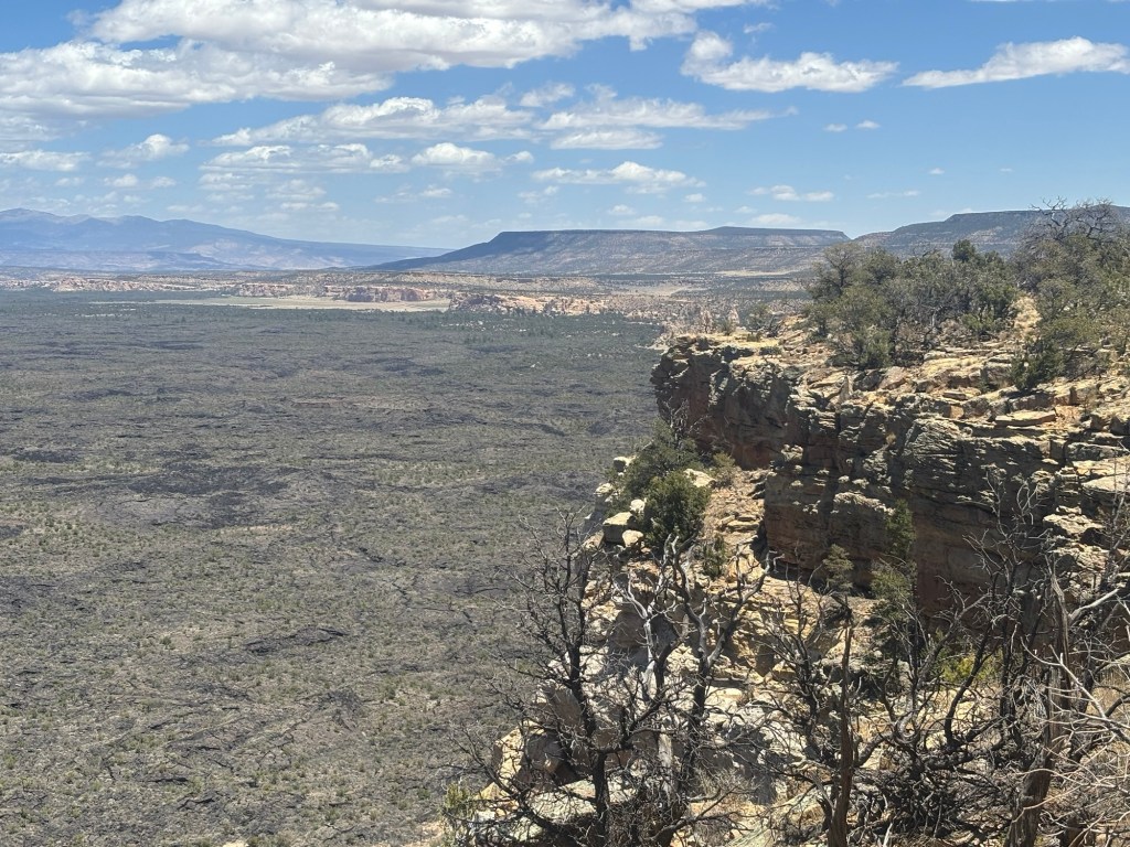
The Brown Line then continued on 117 to reconnect with the Red Line which would follow 117 all the way to Grants. But I got a hot tip that from the Narrows Picnic Area on the Brown Line it was possible to take a side quest to get off the Hwy, climb up top of an escarpment and follow a separate trail along the escarpment rather than walk the road, at least for 4 miles or so. This would provide an awesome view and full appreciation of the lava fields that can not be gained from the road. This is the route I would follow.
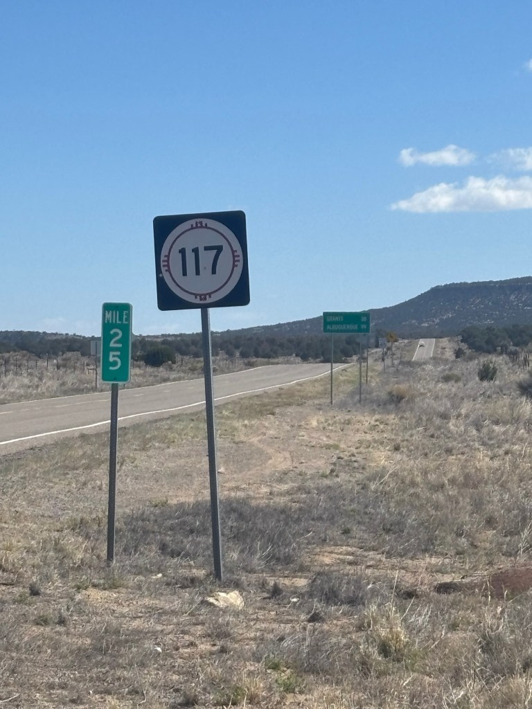
The Highway section was rough and exactly what you would expect walking along the shoulder of a bitumen road. It was boring. At least the traffic was light.
I reached the Narrows Picnic Area just after midday and it was time for lunch before taking the side quest.
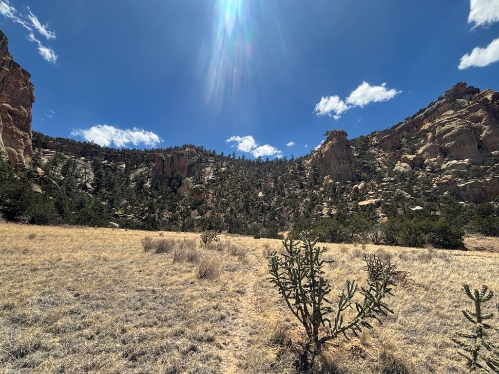
The decision to take the Narrows side quest was a great one. Great to be off the road, at least for now, the views were stunning. It absolutely paid off in terms of fully appreciating the extensiveness of the lava fields on the opposite side of the road. Walking the escarpment was pure joy. It was all sandstone and ancient sea bed. At times the trail was pure sand.
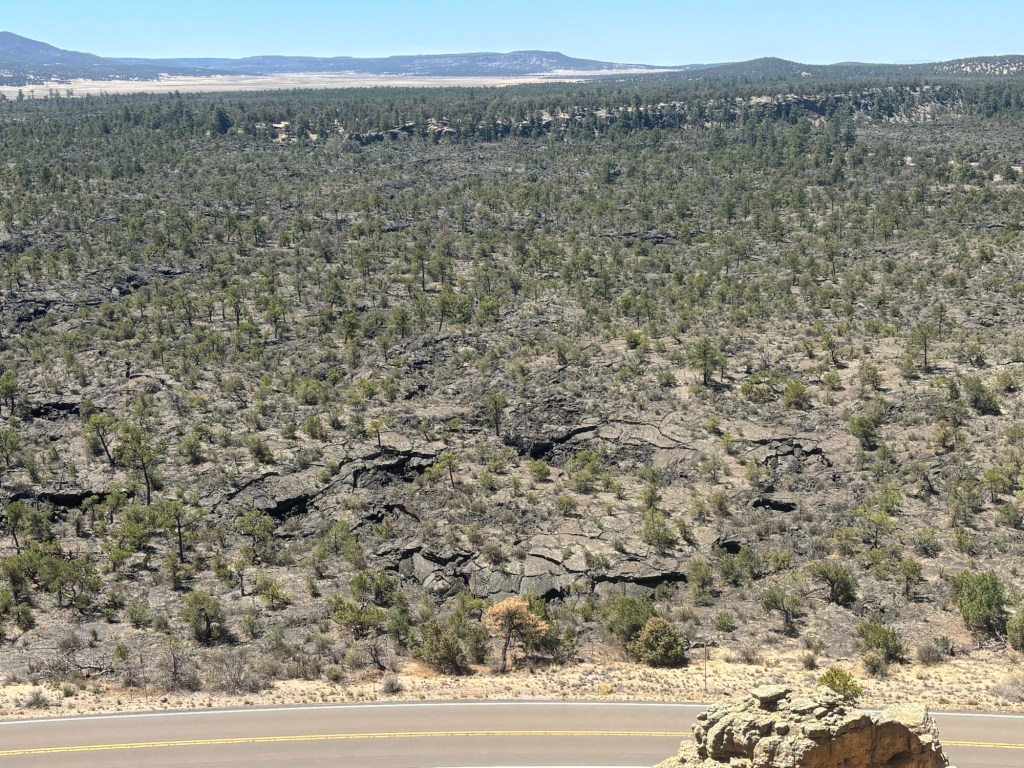
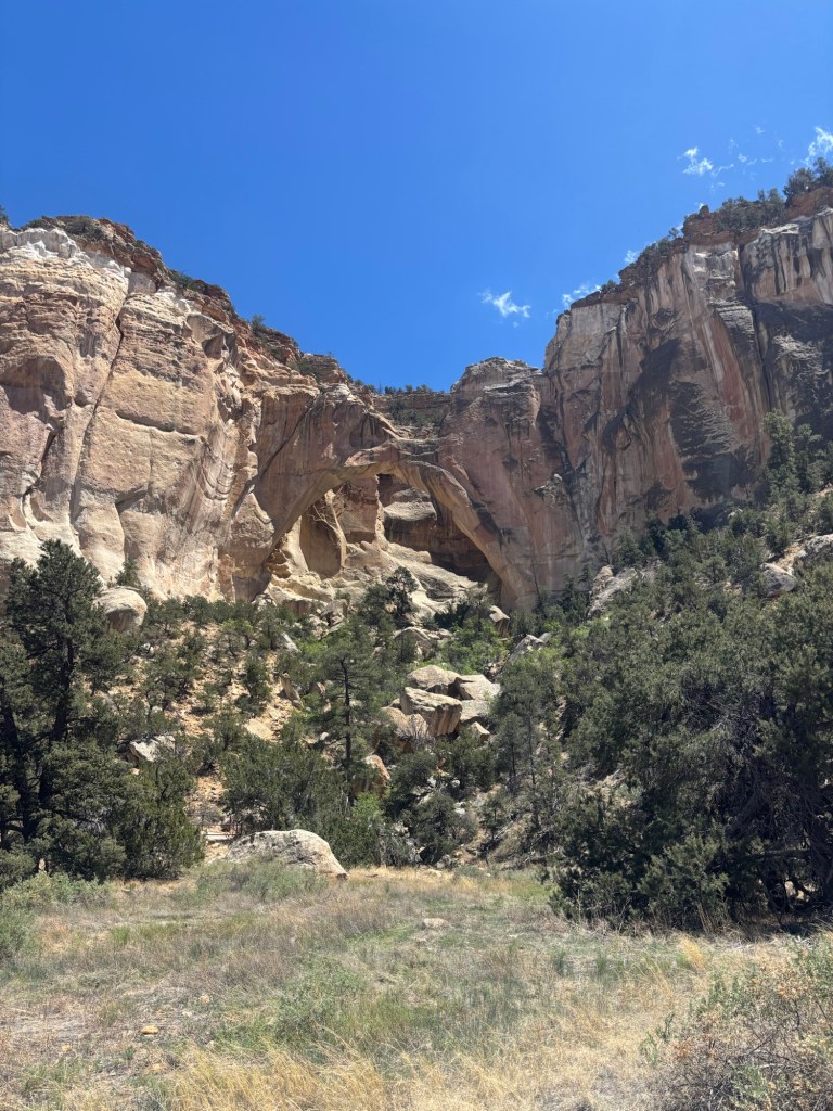
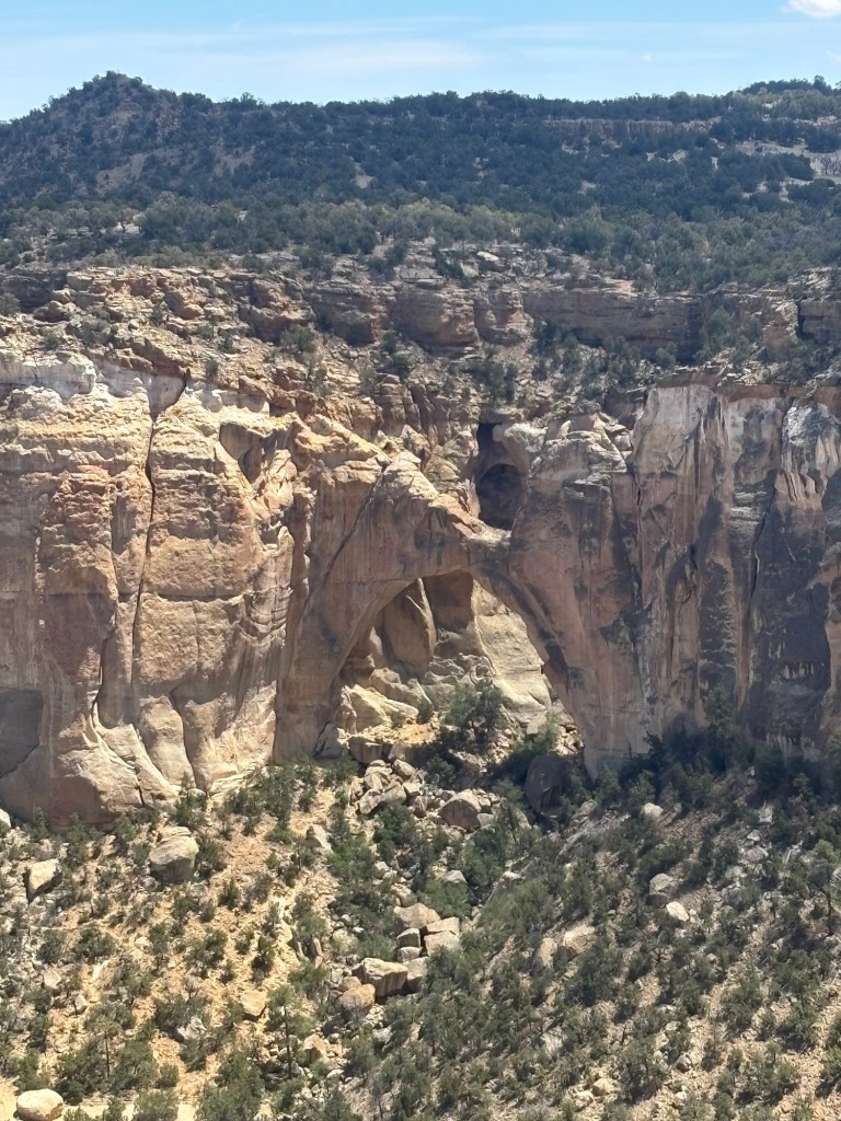
The Narrows trail would lead all the way to the La Ventana Arch, a nature archway with some impressive views from the edge of the escarpment.

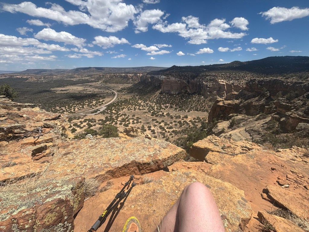
There was one challenge though, how to get off the cliff tops and back to the flatter ground. I would have to find a route down a steep gully and carefully pick a path down. Plenty of people had done this before and a visible, cairned ‘path’ was obvious to follow. What a great way to finish the day.