

Another frosty start to the day but this was to be expected camped on a valley floor on the edge of an open field. Cold air was always going to settle low and if cold enough, freeze any condensation on the ground and my tent.
Expecting a bush bash up hill through fire regrowth straight off Buenba Road I was pleasantly surprised to find but that it had dozer had recently gone through to AAWT alignment and cleared a path. Wohoo!! Some land manger love. So nice to see. By the look of the tracks in the dirt this had only been done very recently, within a few weeks. It got me thinking, had the same work been done along the alignment down from Jonnies Top? Too late.
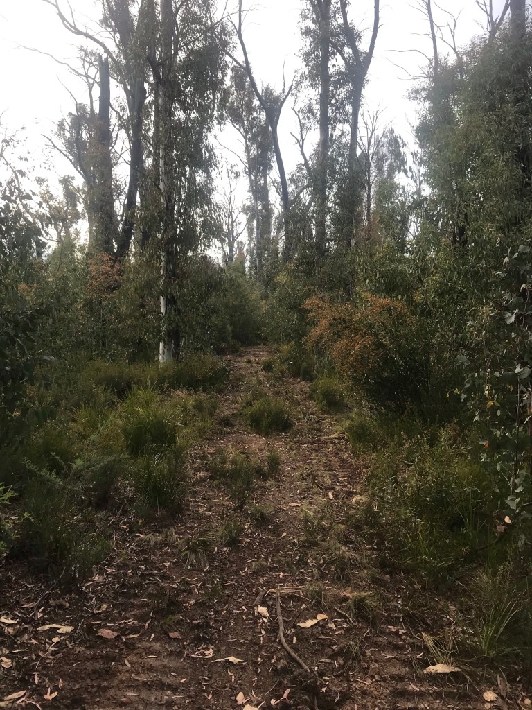
Following the dozers path made for much easier work. I had been expecting to be picking my way through thick regrowth and having to navigate by map and compass through scrub with next to no visibility through the vegetation.
I was soon out to Buckwong Track and a series of forest roads for a few kilometres. Podcasts kept me entertained for the boring road bash to Buckwong Creek.
The area surrounding Buckwong Creek was like one big marsh, wet and spongy underfoot. It was hard to keep shoes dry but I found a way.
Brumbies were rife through the same area and had caused so much damage to the wet ground. Just about every boggy area had been badly cut up and turned over by horse hooves, digging deep into the ground. And like all areas with wild horses, large piles of crap was everywhere. So much damage.
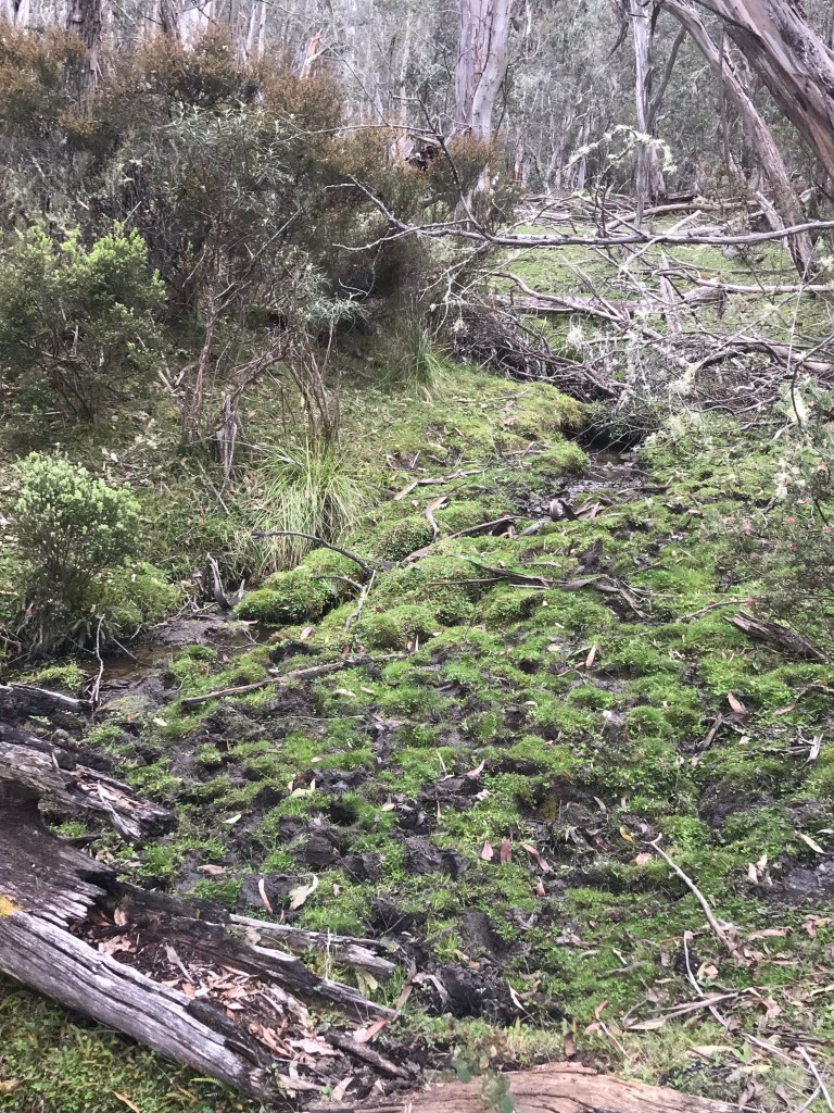
Following the AAWT path, I found that the same dozer work continued. To give you an idea of the damage that the brumbies make, the dozer had passed through the same boggy areas leaving only a faint footprint where tracks had passed without putting the blade down, barely noticeable.
I continued following the dozer line until it took my too far off course from my mapping app for comfort and I headed into the bush to commence a bush bush following the AAWT line. As it turned out this was completely unnecessary hard work as it eventually led my back out onto dozer trail anyway. The dozer route had taken a flatter curving line around around the straighter AAWT alignment I had mapped.

The last 1km or so up towards Misery Trail was way hard. Super, steep and straight up hill again but at least it had been cleared and did not require stamping through thick fire regrowth. The last couple of hundred metres on pretty loose rock, not quite scree. I imagined the dozer slipping and sliding on this as it ventured down hill.
I’m not sure where Misery Trail gets its name because it was far from miserable. Up high on a ridge line it offered awesome views on all sides, out to Mt Bogong and beyond. The whole area had been badly burned, the ridge lined by the skeletal like remains on long dead snow gums. The younger regrowth only short was starting to emerge but a long way off replacing the older giants that used to be alive.
Distracted by the views I missed a turn off Misery Trail and continued heading steeply down hill for 500m, only to realise my error and having to trudge slowly back up hill. A wasted half hour. In my defence there was no directional marker indicating where to turn off Misery Trail so on reaching the top again and locating the correct turn off I made an obvious rock cairn for anyone following behind.
No far into the bush from my rock cairn there was series of trail markers nailed trees following a lose line but the path not really defined on the ground. A faint food pad came and went making this section difficult to follow. At least the understory was grassy and a pathway easily chosen. I relied more on reading the terrain and following an off track route down along the spur more so than following the path shown on my app or any AAWT markers. The markers on trees would occasionally appear out of no where giving me confidence I was headed the right way.
Soon enough the route lead vertically down another spur line. I lost the trail multiple time and lost my shit a couple of times as well having to push through super thick wattle regrowth and basically stumble downhill into oblivion. After what felt like hours which was more like half an hour I’d reached the bottom coming out onto an unmaintained track and quickly locating the proper AAWT route again.
This lead me onto some fantastic single track towards Smoko Creek. The brumby traffic had been heavy in this area, leaving multiple well worn pathways leasing me astray at times to lose the track again and again.

Once across Smoke Creek the path was well defined and easily followed. Perfect single track and perfect Sambar country. I was honked at on a few occasions and on another with the wind in my face managed to spot a small doe and approach within 20m metres before she was altered to my presence.
Eventually I made it down to Limestone Creek and a perfect little camp site besides the river. Brumbies were scattered about completely unfazed by my presence. The creek offered a nice cold soak for tired feet at the end of the day and an opportunity to rinse out some very smelly, well worn socks.
