 Posted by
 27.0 miles
Today continued the theme of hiking on forest roads all day, initially continuing to follow the road along Willow Creek from yesterday. A steep climb for the morning kicked the day off. Smoke still hung in the air, thicker than yesterday.
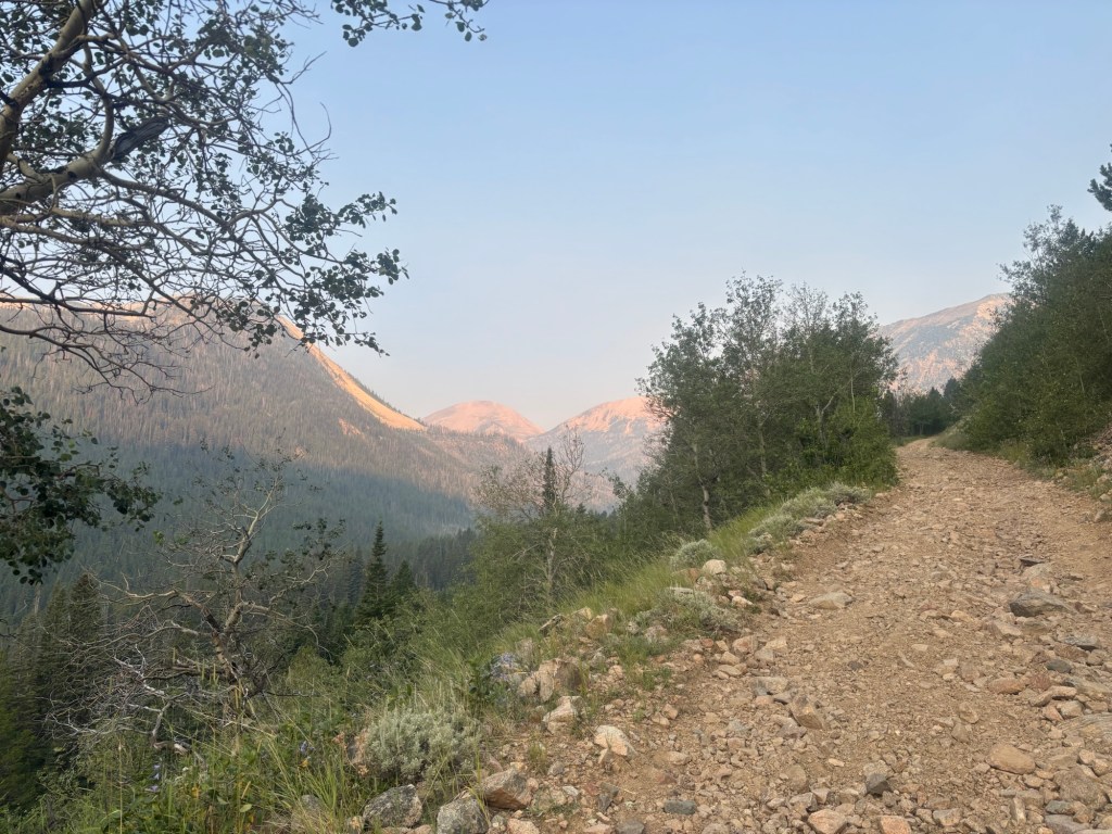
A few miles in I wasn’t quite sure what I was about to get myself into. The route I had downloaded showed a path taking off from the forest road, just past another short section of track heading off from the road. This short track was shown to be gated with no mapped track beyond the gate. I needed to get up to a pass to continue.
I hiked to the intersection with the short track and could see if leading up hill. However with my downloaded route showing to take off 0.2 miles past this intersection I continued on. Reaching where I needed to be there was not much of a trail of any description. I started to follow what I thought was a horse trail which quickly faded to nothing. I was sure I was in for a bushwhack up towards the saddle and wasn’t forward to it or the off track navigation.
I started uphill hitting massive tree blow downs straight away. Trees were down everywhere. It wasn’t just a matter of stepping over them, these things were huge requiring a full scramble over. A few hundred metres in the realisation of how difficult this would be set in. A bushwhack was going to take several hours to reach the pass. I was going to be exhausting.
Picking the line of least to move around the tree blow downs I continued on the incredibly steep terrain, calves burning. Early morning and the sweet was pouring out already.
After 40 minutes or so I saw an opening in the standing trees, an opening similar to what you’d expect along the edge of a track. Could it be? Sure enough I stumbled out onto a cleared track foot print. It became obvious then that this was the same forest track that was mapped as the short gated track. More of the track existed, it just wasn’t hadn’t been mapped on the topographical map.
Tacking my progress by satellite on my map I started to follow this track. Excellent. It was headed towards the pass I needed to get to. Relief set in that I would not have to bushwhack for hours on end.
Stupid me. I should have followed the short gated track from the get go. But without being mapped I really had no idea it existed. 40 minutes of completely tiring work could have been avoided. I should have paid more attention in town and downloaded the satellite imagery that would have shown what the topographical maps didn’t show, a pathway all the way to the pass. Oh well.
I reached the top of the pass but remain confused. Again the route I had downloaded did not seem to fit was I was looking at in the field. Hitting a mining area I could see a track side cutting the hill but my mapped route said I should be way up on top of the hill to the east. This didn’t seem right. Ignoring the mapped route I followed my instincts and continued on the side cut across slope towards a shipping container I could see on the track. I recorded the sidecut just to see how far things were out. Significantly it seems.
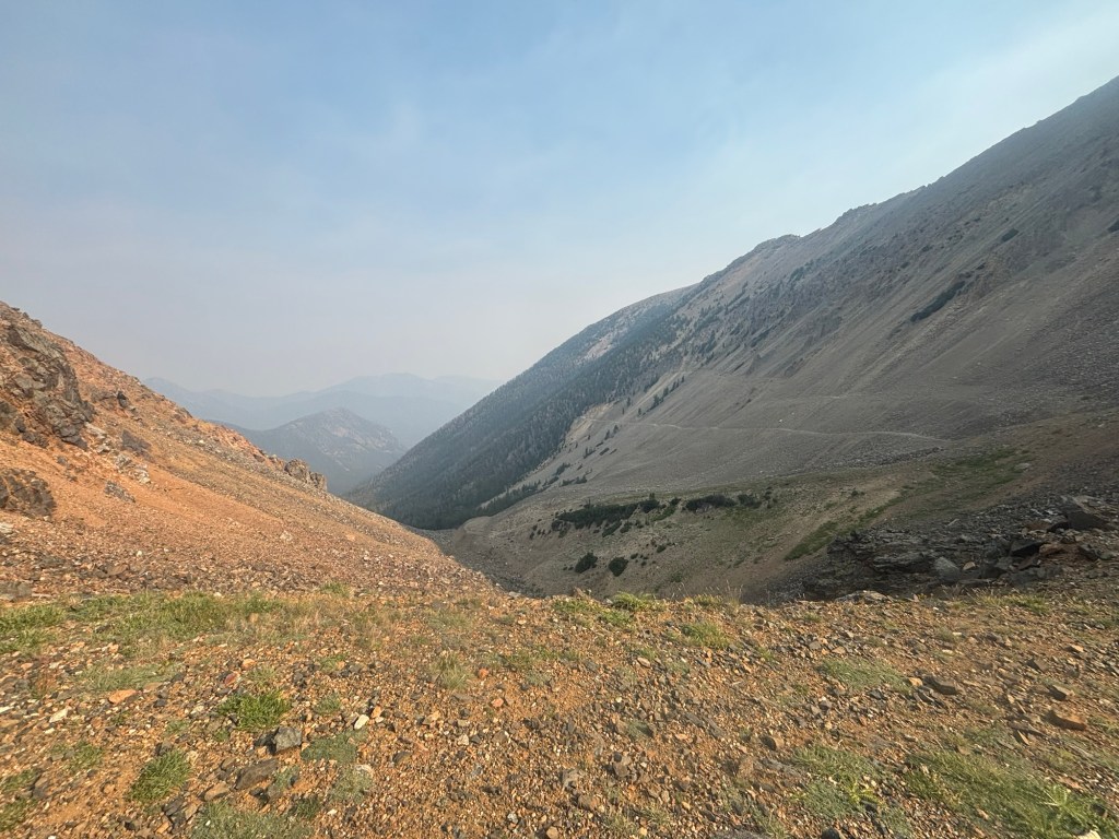
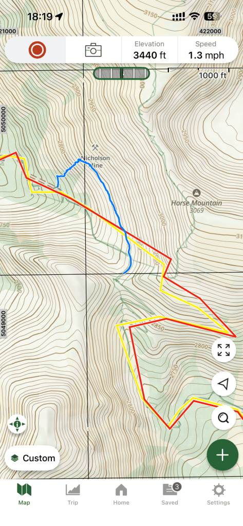
Reaching the shipping container this track completely petered out into nothing. I knew there was a forest road down slope below and that I was up way too high. The problem was, to connect to it would mean scrambling down an incredibly steep scree slope on unstable ground. No choice. Downhill it was. With each step my feet would sink down hill as the gravel around each shoe slipped and tumbled downhill. Several time micro avalanches were caused and I’d literally slide down hill several metres before biting into some semi solid ground. It was essentially like skiing down a dry slope.
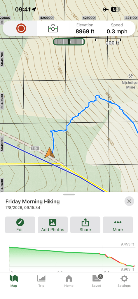
I eventually hit the forest road and from there the going was straight forward with my route matching my maps.
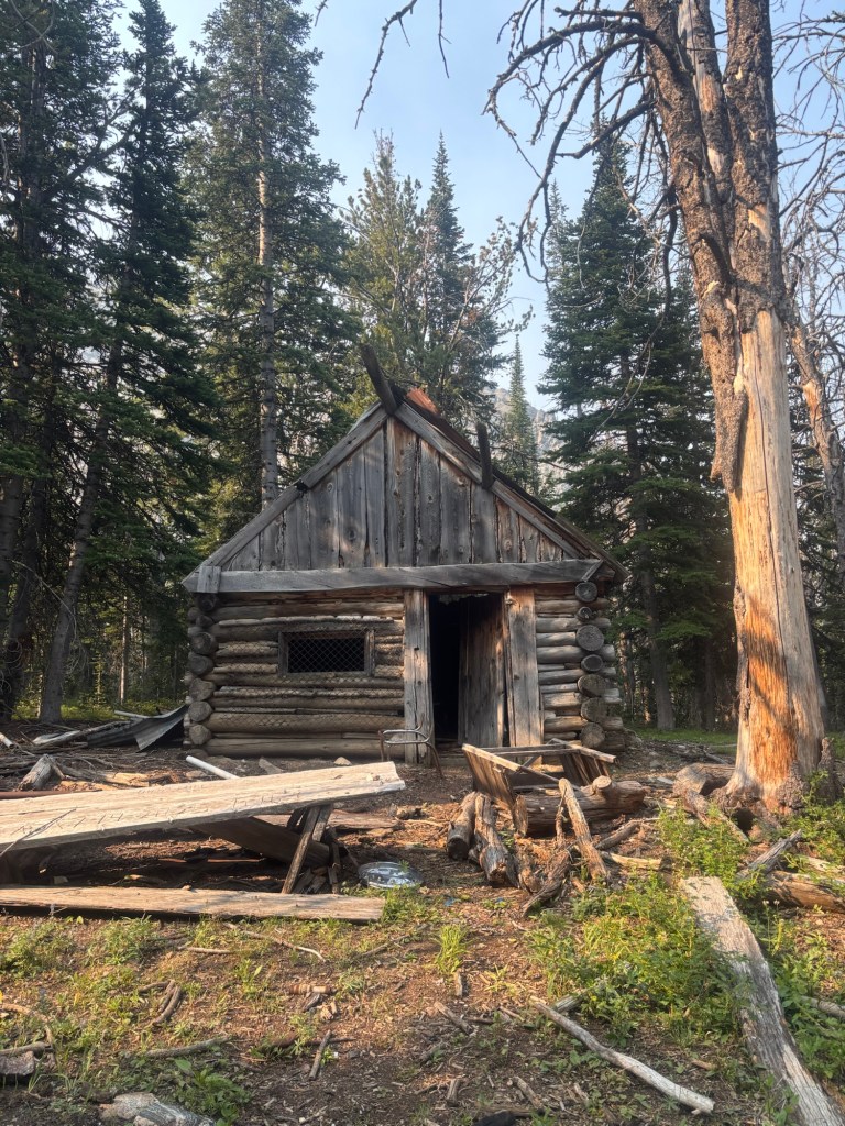
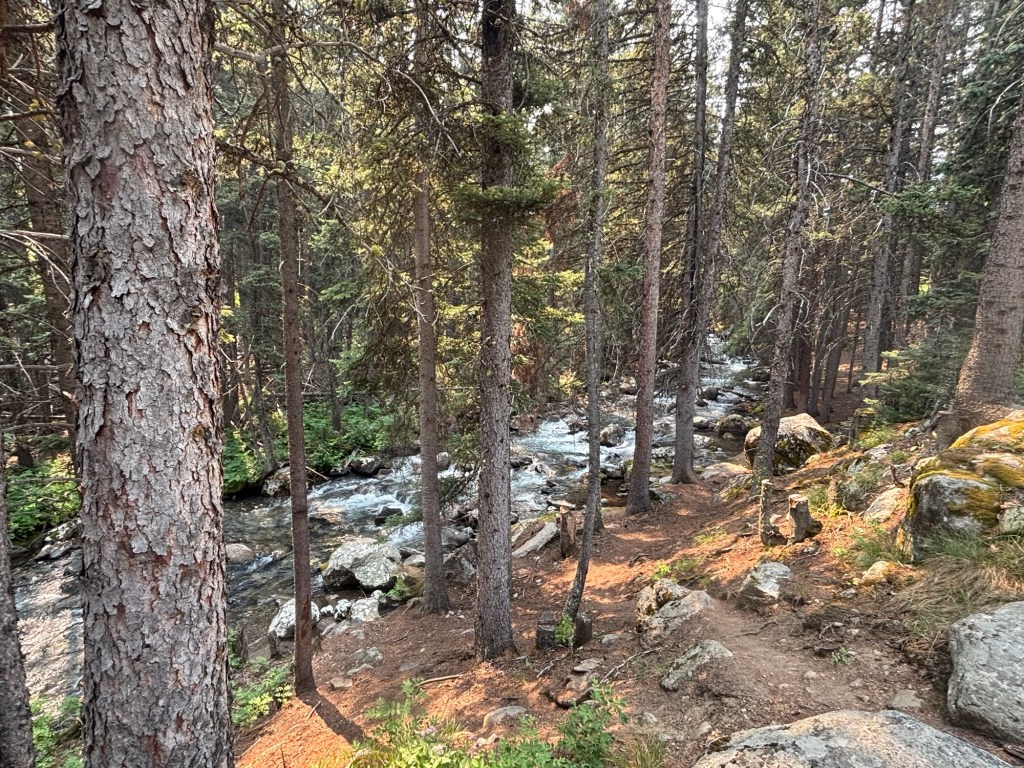
The rest of the day was uneventful, other than passing some ild mining cabins, continuing to follow forest roads. My plan was keep going until close to sun down or until I ran out of forest and hit private property. I ended up hiking 27 miles for the day.
It was close to 7:30pm when I reached the edge of the forest. And like some many mapping errors today the land tenure I ended up on was unclear to me. My maps showed the land as BLM public land with a private grazing license. Walking down the road late in the day there were a bunch of cows which were on the road running amuck as I walked towards then, kicking dust up into the air and scattering in to the adjacent bush before coming back out onto the road to continue the pattern.
This happened for about 3/4 mile before the bush opened up into stunted trees and grazing lands. Along the road in the Forest Service managed public land I saw a hand written sign saying “Private land for next 1.5 mile. Stay on road”. This national forest area was meant to give way to BLM public land. I was confused on the land status and exhausted. It was getting late and I needed to find a flat piece of ground to camp on. It was super hot and very smoky. All of the National Forest area was unsuitable either being too rocky or covered in thick vegetation and so I found myself scouting sites in the cleared country.
I walked off and away from the road keeping to tree cover and found a passable flat section of dirt. Initially cows nearby were a bit spoked but they settled down quickly enough and didn’t seem phased with my presence continuing to peacefully graze pretty close to my tent. I deliberately kept my movements slow to not spook them.
I had just set my tent up when I heard a quad bike heading down the road. It stopped on the road adjacent to where I was camped and the engine cut out. Still unclear on land tenure I sat quietly making no noise. I was certain the local farmer had come out to see what all the fuss was from cows kicking up dirt before and I was shit scared I was going to be trespassed. If that happened I was going to plead ignorance as a foreigner and refer to the maps I had showing the land under BLM management. But trespass is trespass. If busted and asked to leave, I would leave immediately.
I’m not sure how long the quad bike sat on the road but it felt like an eternity. The scrub cover obscured the road and quad from me and hopefully me from them. I didn’t know if the driver was just sat propped or wandering around looking for something. It is a frequented route and I’m sure others have come through. At least the cows continued to feed undisturbed by my presence.
Eventually the quad kicked over and it moved off. I was able to relax and go about my evening routine.
I’ll always do the right thing and never intend to trespass but the land tenure on all my maps was unclear. If detected I had most of my gear packed up for a quick exit if detected and asked to leave later on.
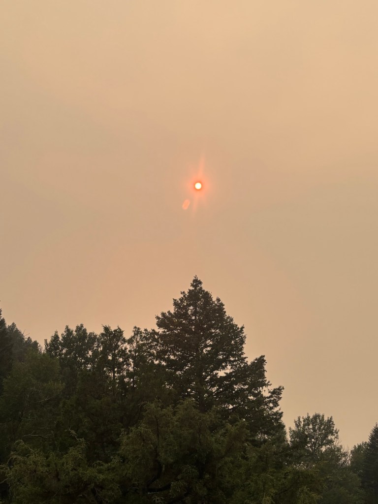
Fire smoke caused the setting sun to obscured.


Wow what a day!