

A sleep in a hotel bed was great last night. As was the pub grub, the biggest country steak you an imagine. I’m virtually living on carbs out bush and crave the protein when coming into town. I don’t just crave it, I need it, protein being essential to build up all those little mussel fibres I’m breaking down in my feet and legs all day. 1,200 km will go a long way to burning the belly fat away as well.
Company over dinner was great too. Sitting alone over a pint of Tooheys Old, trying to avert me head from the TV blaring live election news non stop, a fella named John, one up himself, asked to share my table. Having not really spoken to anyone over the last seven days, I relished the opportunity to sit and chat with a stranger over a beer in a country pub. As these things tend to play out, it turns out that John and I share a very similar background. He is retired now and on the road with his wife touring Australia but in his not so distance past, was a forester and forest firefighter, working for NSW Parks and Wildlife. With much in common the conversation easily flowed through to three beers, interrupted by my meal arriving and John’s wife calling asking where the bloody hell he was. Great times.
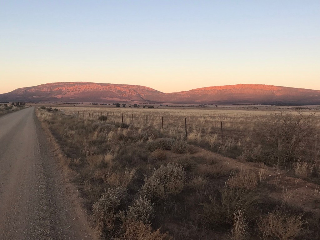
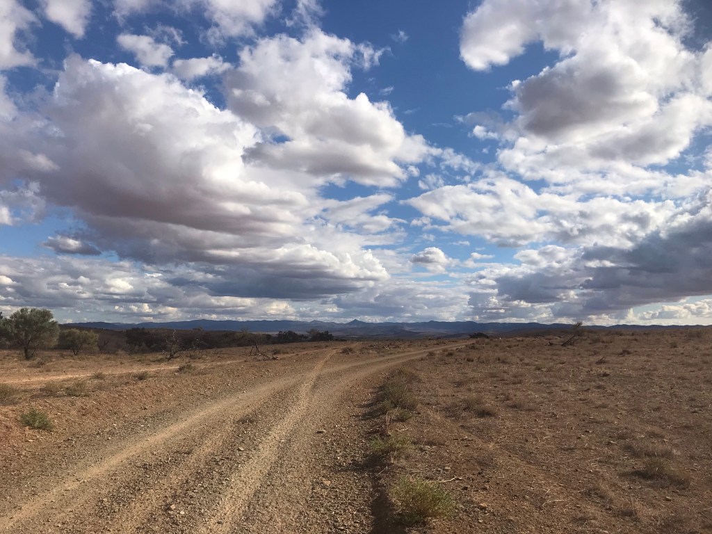
Today was a business day really in the sense that it felt like a whole lotta work. Miles and miles of rocky trail and road bashing. I call it a transition day. Leaving the northern Flinders and traversing a stack of country to slowly enter the southern Flinders Ranges. Parks and natural features don’t extend the entire length of the trail and there are bound to be linking sections between that are a little uninspiring. Today was such a day.
I left the hotel around 6:30am to smash out the 6km road bash back to the Heysen. This is all extra kilometres but necessary to get in and back out of town. It didn’t take long to reach where I exited the trail yesterday near Jervis Hill.
From here there is not really a lot to report, as I say it was a transition day. Initially sandy, the trail signs directed me along fence lines to the Mt Elm camp. A decent enough campsite to stay in if you were NOBO and wanted to spend a night on trail before town. The toilet shed was at a 45 degree lean and just about to completely fall over. The decaying roo carcass next to it didn’t add to the ambiance, but beggars can’t be choosers. Nature called. I could barely raise the lid against the falling structure. Doors be dammed – you wouldn’t get it closed anyway. I’m yet to see another hiker out here and was confident of not getting sprung.
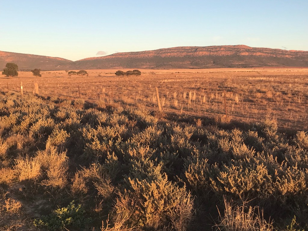
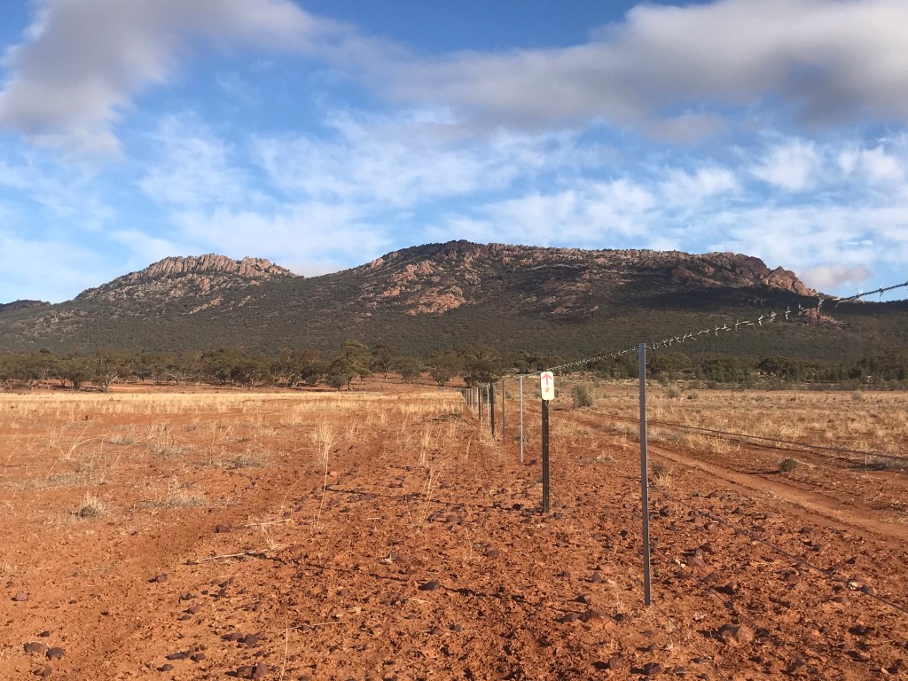
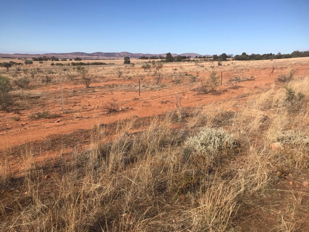
From Mt Elm the Heysen followed yet more fence lines, some section on sandy track, some on rocky ground. Then came the fence line from hell that I dare not speak its name. The mofo of all fence lines. It started on the worst rocky section you can imagine. No discernible trail to speak of, just the occasional trail maker and a game of choose your own adventure. I saved twisted ankles a dozen times. Then it shifted off the rock into open grazing country for nine and half freaking kilometres, just about dead straight, along the foot of the Yappala Range. Character building. It was hard to stay sane. Very little variability for a good couple of hours. Plenty of sheep, roos and the odd goat to keep me company.
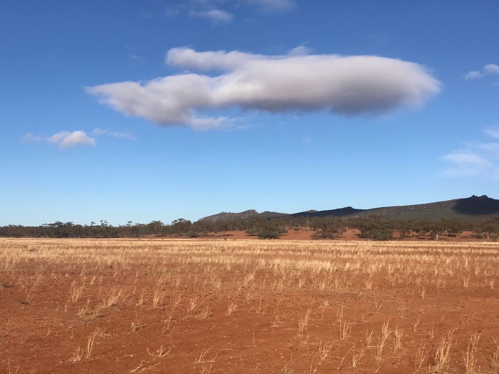
The monotony of this transition day didn’t end though. The fence line merged onto a vehicle track which I would follow for the remainder of the day tracing the path of the Calabrinda Creek. Another dry, rocky creek. The sun was out in full force, little cover to be had. It was hot and sweaty work. I was just thankful for a cool breeze that rolled through the valley. It was enough to cool me down and dry my shirt during rest breaks. Breaks were frequent along the road. I could only get an hour or so of walking in, roughly four and half kilometres before my feet would complain.
Pushing in to the early part of the afternoon I reach my intended destination for the day, Calabrinda Creek camp site. The wind was ripping through by now. Looking around I found the site to be completely exposed, up on an open knoll with only a few trees and made a hasty decision to keep moving. Topping up with water I shouldered my pack and hit the road again. It was 2:30pm, and good two hours of sunlight before I’d have to start looking for a place to get a camp set up.
Referring to my map I spied a sweeping bend in the Calabrinda Creek bed about 7km or so ahead and aimed for that, figuring if this bend was out of line with the main direction of the valley it may offer some protection from the wind.
It did. At around 4:30pm I dropped my walking poles, unslung my pack and was done for the day, finding a nice sheltered spot down along the river bank and away from the massive river red gums that can be prone to dropping limbs without warning.
