

Today was a shortish day at only 22.2km but that is perfectly fine. It felt great to be rested and hit the track anew looking forward to making progress north.
A beautiful section of track for the first session of the day from Walpole up to Mt Clare. Along the way I met two groups of south bound walkers and a solo fella. Everyone was in fine spirits today and at each passing a 10 minute chat ensued with group, comparing notes on what lay ahead in our respective directions, talking gear and hiking other places. This was great.
At the Mt Clare shelter I met another fella with his two very young daughters out for a day trip and the same thing happened, another 15 minutes conversation sharing all manner of things. He worked at the tree top walk I’d passed a few days back and had much to offer in way of information on the surrounding area, sections of track to look forward to, the different species and some side trail routes to look out for. Awesome again although for a shorter leg day it will take forever if this keeps happening. A taking point of nearly every encounter is my very loud and colourful Dirty Girl Gaiters.
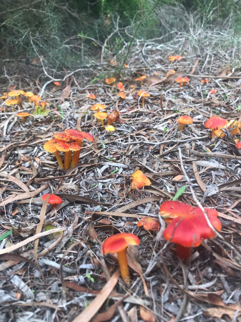
Moving off the backside of Mt Clare the track took me back towards the coast again through such a huge diversity of ecosystems in a space of time. From tall tingle forest to red flowering gum country with tea-tree, wattles, hazel, grass trees and thick impenetrable sore grass county; then back into dune country with scattered banksia and thick heathlands. I wasn’t loving being back into the Sandy trail again though.

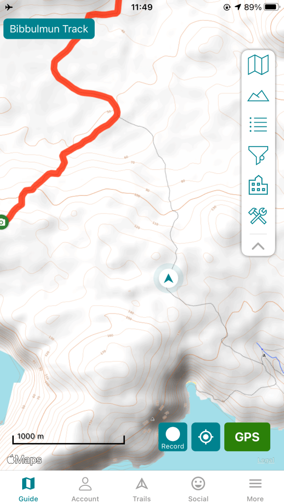
A sandy vehicle track had to be followed for a while. This made for easier walking but also allowed me to be distracted as my thoughts wandered and I was busy taking photos and video. At one point I came across a Dieback boot scrub station and wanted to get some video footage of these as they were locally designed in Walpole with a major hand played by Gary. Anyway, busy videoing away I missed a clearly marked trail junction where the Bibb takes off again form the vehicle track. I didn’t notice this error and blindly continue down the vehicle track. There were footprints along the track which lulled me in even further. It wasn’t until around 1.5km from the junction I noticed the sun burning bright and stopped to put on some sunscreen, take a swig of water and check my map to see how far I had to go for the day – surely by now I only had a few kilometres to go. Nope. The location displaying on my phone map had me a long way off track. Bummer. That is why I hadn’t seen any trail markers for a while. There was nothing to be done but backtrack. I had to laugh at making such a dumb nav error.

Finally back on track it was back onto sandy trail. This slowed progress somewhat but was compensated by the clear views out to a calm blue sea and overviews of the coastal heath areas back inland.

A few kilometres to go and I ran into another two south bound end to end hikers, excited to be coming into their final section to finish the track. Of course another 15 min conversation ensued talking all things hiking. These two very clearly were going ultralight based on the sized and brand of their packs and had a very respectable target of 35 days end to end, but they told me it was there first long distance hike. They will go far in this game. Again my gaiters sparked some talk which led to my tattoos and talk of the PCT and Te Araroa. Lucky I am close to the hut and will get there with plenty of afternoon left in case there are any other hikers to stop and talk to.
A great day.
